

Popular Searches
Popular Searches

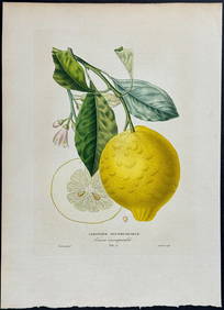
WELLS, EDWARD. [A New Sett of Maps Both of Antient and
You May Also Like


Similar Sale History
Sold

Sold

Sold


Sold

Sold

Sold

Sold

Sold

Sold

Sold

Sold

Sold

Sold


Sold

Sold

Sold

Sold

Sold
Sold


Upcoming Sales
View All


TOP