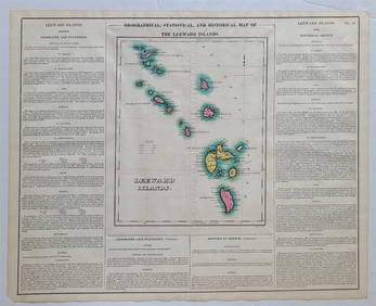
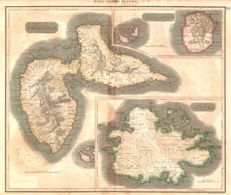
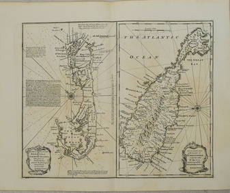
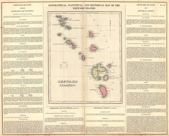
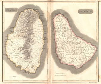
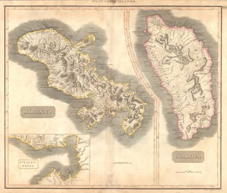
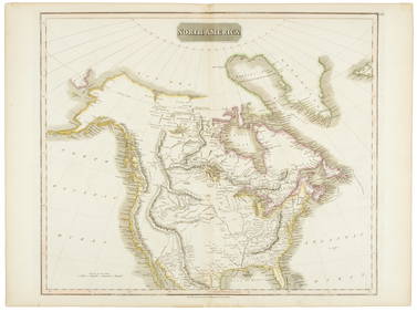
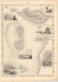
Thomson, sheet of 4 maps, Atlantic Islands, 1814
A Set of Treasure and Discovery Island Brochures.Mar 02, 2024[BUSINESS]. Travel Guide of Negro Hotels and Guest Houses. Published by Afro-American Newspapers ofFeb 27, 20241822 MAP of LEEWARD ISLANDS GEOGRAPHICAL STATISTICAL HISTORICAL antique 17.5x22"Feb 27, 2024Fanch Ledan, Interior with Easter Island HeadMar 05, 2024West Indies Islands. Guadaloupe. | Mariegalante &C. | Antigua.Feb 27, 20241750 Bowen Map of Bermuda and St. Kitts -- A New & Accurate Map of Bermudas or Sommer's Islands...Feb 27, 2024Geographical, Statistical, and Historical Map of the Leeward Islands.Feb 27, 2024West Indies Islands. St. VincentFeb 27, 2024West Indies Islands. Martinico | Dominica.Feb 27, 2024KenówÅn – Nunivak, Edward S. Curtis photogravureMar 07, 2024Hooper Bay Youth, Edward S. Curtis photogravureMar 07, 2024The Village–Hooper Bay, Edward S. Curtis photogravureMar 07, 2024North America in 1814Mar 07, 2024Road map of West Coast states 1925Mar 07, 202491 USGS maps from 1898 original bindingMar 07, 2024Goode, George Brown 1884 Lot of 4 Natural History & Meteorology MapsMar 01, 2024Framed Vintage Map Of Le Port Au Prince In The Island Of Santo DomingoMar 01, 2024MAP, Atlantic Islands, TallisMar 12, 2024MAP, North Atlantic, RobiquetMar 12, 2024MAP, Europe, TassinMar 12, 2024MAP, Italy, OrteliusMar 12, 2024MAP, Japan, ChatelainMar 12, 2024MAP, India, AnvilleMar 12, 20246 pcs Vintage Paper Maps. Vancouver Island, British Columbia. Upper Elk Creek Sheet. See pics.May 25, 2024 

![[BUSINESS]. Travel Guide of Negro Hotels and Guest Houses. Published by Afro-American Newspapers of (1 of 4)](https://p1.liveauctioneers.com/197/319238/171467937_1_x.jpg?height=282&quality=70&version=1707520367)
