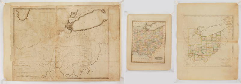
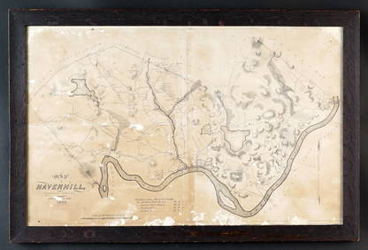
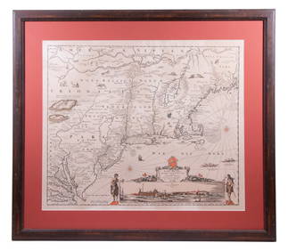
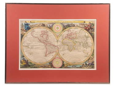
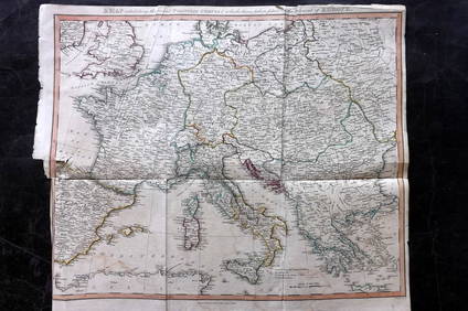
Spectacular wall map of Europe, 1761
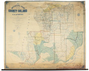
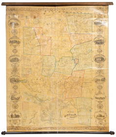
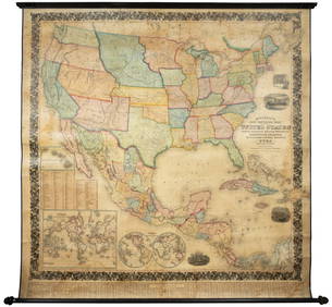
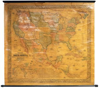
5ft Original1857 Steuben County NY Wall MapFeb 24, 2024Vintage County Map Of NY State Plate EngravingFeb 28, 2024Vintage Vanguard Studio wall map, dated 1968Feb 25, 2024Vintage Framed Pine Island & Lacoste Island MapMar 06, 2024Denoyer-Geppert Visual Relief Series. Caribbean AreaFeb 27, 2024Mexico, Central America and the West IndiesFeb 27, 2024Mexico, Central American and West IndiesFeb 27, 2024Mexico, Central America and West Indies Physical PoliticalFeb 27, 2024Wall map of San Francisco 1902Mar 07, 2024Wall map of Solano County, California 1915Mar 07, 2024Large wall map of Windham Connecticut 1856Mar 07, 2024Large wall map of U.S. & Central AmericaMar 07, 2024Wall map of North America 1856Mar 07, 2024Grapho-Politico wall map of California 1902Mar 07, 2024Clarke & Neele 1815 Map. Europe - Recent Political ChangesMar 01, 2024Cooke, George 1801 Antique Map. EuropeMar 01, 2024Blackie (Pub) 1882 Folio Map. EuropeMar 01, 2024Walker, John C1805 Antique Map. EuropeMar 01, 2024Becker, F. P. C1845 Antique Map. EuropeMar 01, 2024Vintage 1920s Rand McNally Auto Trails MapMar 20, 2024MAP, Europe, MunsterMar 12, 2024MAP, Europe, TassinMar 12, 2024MAP, Europe, Cities, SchenkMar 12, 2024MAP, Europe, OrteliusMar 12, 2024 