Scarce map of Oroville Dam project
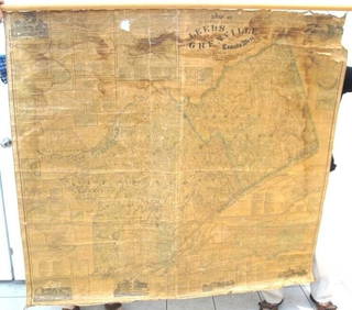
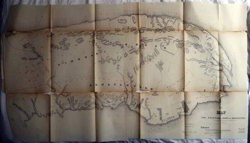
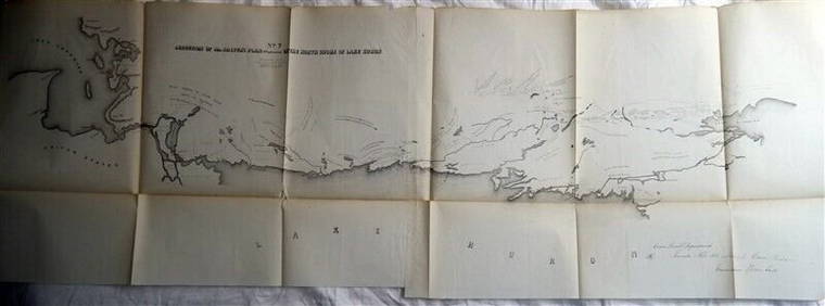
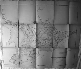
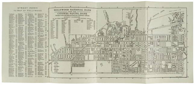
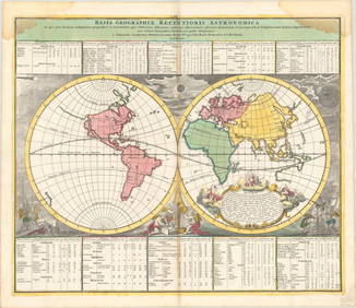
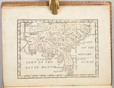
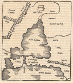
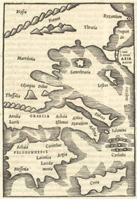
Map UNITED COUNTIES LEEDS & GRENVILLE by Walling 1861 Rare Canada Map 5ft x 5ftMar 02, 2024DUNLEVIE c1856 Map Counties Of Gaspe & Bonaventure Quebec Canada SCARCE! #2Mar 02, 2024DEVINE c1856 Dr Salters Map Of Lake Huron Ontario Indian Lands etc. No. 7 ScarceMar 02, 2024MATTHEWS c1856 Map Of Upper Canada Ontario Indian Land Agency Divisions Scarce!Mar 02, 2024DUNLEVIE c1856 Map Counties Of Gaspe & Bonaventure Quebec Canada SCARCE! #1Mar 02, 2024CHARLES ROLLIN c1828 Ceasar Hand Colored Africa Military MapMar 02, 2024Battle of the Nile: Disposition of the English & French Fleets, at the Commencement of the Action,Feb 24, 2024Folding map of the East Bay, 1913Mar 07, 2024Map & Street Directory of Hollywood, 1919Mar 07, 2024Jo Mora's pictorial map of Monterey Peninsula 1927Mar 07, 2024Road map of Southern California c.1925Mar 07, 2024Rand McNally & Co's Montana map 1880Mar 07, 2024Road map of West Coast states 1925Mar 07, 2024Panama Canal & World Rulers, 1909Mar 07, 202491 USGS maps from 1898 original bindingMar 07, 2024MAP, World, DoppelmayrMar 12, 2024MAP IN BOOK, US, MartynMar 12, 2024MAP, Ukraine, SolinusMar 12, 2024MAP, Greece, SolinusMar 12, 2024MAP, Sicily, PtolemyMar 12, 2024MAP, Middle East, SolinusMar 12, 2024MAP, Japan, MeiselMar 12, 2024MAP, Southeast Asia, PtolemyMar 12, 2024MAP, Pacific Ocean, MearesMar 12, 2024 