Rossi: Grand Aegean Isles Map
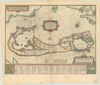
LARGE LATE 17TH C. DUTCH CHART OF CANADA, GREAT LAKES, NEW FRANCE, LABRADOR, HUDSON BAY, BY PIERREFeb 24, 2024Pair of The Gateway to a Continent Books - Grand Central Zone and 1939 World's FairMar 07, 2024A Disney's California Adventure Opening Day Map.Mar 02, 2024AN ANTIQUE FOLDING MAP OF THE BRITISH ISLES DATED 1873Feb 28, 2024Chatelain - 3 Maps of the British Isles (England, Ireland, Scotland)Feb 24, 2024De Jode, Rare, pub. 1593 - Map of the British Isles [England, Scotland, Ireland] (Angliae Scotiae etFeb 24, 2024Map: A 17thC engraved map of the British Isles titled A Generall Mapp of the Isles of GreatFeb 26, 20241683 Sanson Map of the Caribbean -- Les Isles Antilles, &c Entre Lesquelles sont les Lucayes, et lesFeb 27, 20241764 Bellin Map of Martinique -- Isle de la MartiniqueFeb 27, 20241764 Bellin Map of Antigua -- Carte de l'Isle d'Antigue Situee par la Latitude 17 Degres et par laFeb 27, 20241845 Delisle/Bauche Map of Martinique -- Carte de l'Isle de la Martinique Colonie Francoise de l'uneFeb 27, 2024De l'Isle's influential map of Americas 1722Mar 07, 2024Le Canal de Mosambique, l'Isle de Madagascar… Mozambique. Africa. BONNE 1788 mapFeb 28, 2024Plan de la Baye & Isle d'Arguim'. Mauritania. Arguin island. BELLIN 1746 mapFeb 28, 2024Stanford, Edward 1901 Large Map. Geological Map of the British IslesMar 01, 2024Stanford, Edward 1901 Large Map. Hydrographical Map of the British IslesMar 01, 2024Stanford, Edward 1901 Large Map. Stereographical Map of The British IslesMar 01, 2024Paterson & Mogg 1822 Pair of British Road Maps. Isle of Thanet & WightMar 01, 2024James Cook - Map of the Friendly Isles - Tonga IslandsFeb 28, 2024Isle of Skye-21 year old (1) Grand Slam Dram-10 year old (4) Famous Grouse Vintage Malt Whisky...Feb 26, 2024MAPS IN REPORT, Eastern US, G.L.O.Mar 12, 2024MAP, Bermuda, HondiusMar 12, 2024MAP, Greece, MunsterMar 12, 2024MAP, Italy, Robert de VaugondyMar 12, 2024 


![[Munster (Sebastian)] Des Isles de Bretaigne (1 of 1)](https://p1.liveauctioneers.com/410/14124/4342550_1_x.jpg?height=282&quality=70&version=1192724045)


![De Jode, Rare, pub. 1593 - Map of the British Isles [England, Scotland, Ireland] (Angliae Scotiae et (1 of 2)](https://p1.liveauctioneers.com/6581/319571/171593327_1_x.jpg?height=282&quality=70&version=1707853304)