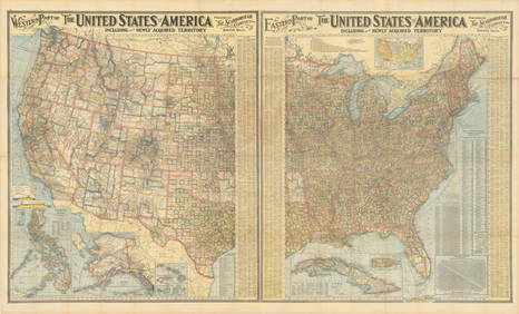
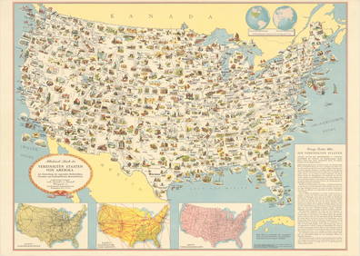
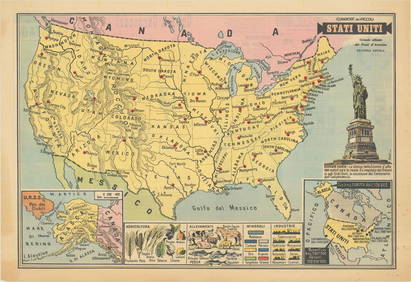
Rand McNally United States Map
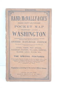
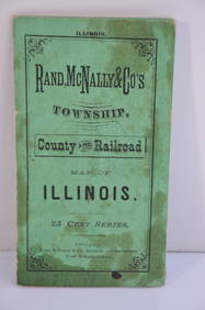
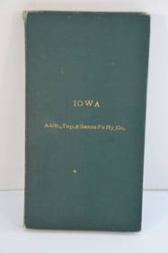
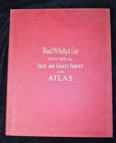
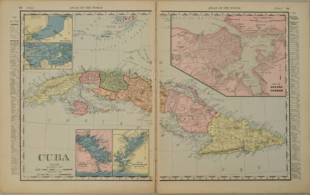
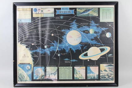
Rand McNally County/Township/Railroad Map of Kansas-1911Feb 24, 2024Rand McNally Railroad Map of Arizona-1909Feb 24, 2024Rand McNally Railroad Map of Colorado-1929Feb 24, 2024Rand McNally Railroad Map of Washington-1906Feb 24, 2024Rand McNally Township County and Railroad Map of Illinois-1879Feb 24, 2024Rand McNally/Santa Fe Railroad Map of Iowa-1912Feb 24, 2024United States Map with American Flag 3-D Wall Mount PaintingFeb 29, 2024Firestone Tire Rand McNally Road MapFeb 25, 2024Rand McNally Railroad Map Cabinet w/ 21 Railroad MapsMar 08, 2024Rand McNally & Co's New Ideal State and County Survey and Atlas 1911Apr 20, 2024Putnam 1921 Atlas of the World in excellent conditionFeb 27, 20241899 Rand McNally Map of Cuba -- CubaFeb 27, 2024Framed Space Age Rand McNally Map of Planets Poster, 1958Mar 02, 2024Rand McNally & Co's Montana map 1880Mar 07, 202491 USGS maps from 1898 original bindingMar 07, 2024Two Hand-Colored 19th Century Maps of New Orleans and Louisiana, Larger- H.- 12 1/2 in., W.- 15 1/2Mar 08, 2024Cooke, George 1801 Antique Map. United States of AmericaMar 01, 2024Blackie (Pub) 1882 Folio Map. United States of North AmericaMar 01, 2024Stamps and Collector Plate's BooksFeb 27, 2024Map of United States of North America, 1785Mar 14, 2024Vintage 1920s Rand McNally Auto Trails MapMar 20, 2024MAPS, United States, Scarborough Co.Mar 12, 2024MAP, United States, General Drafting Co.Mar 12, 2024MAP, United States, PatitucciMar 12, 2024 