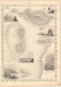
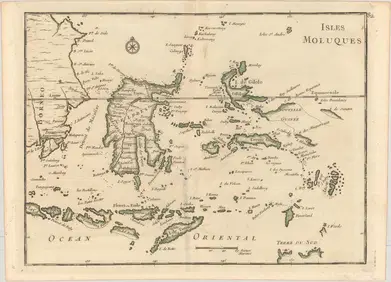
Mitchell: Antique Map of Oceania & Islands, 1869
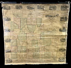
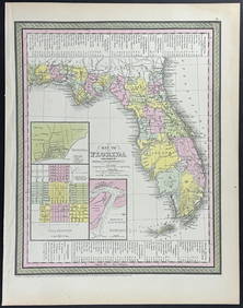
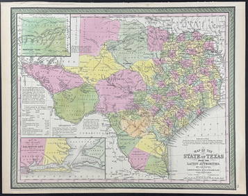
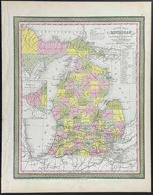
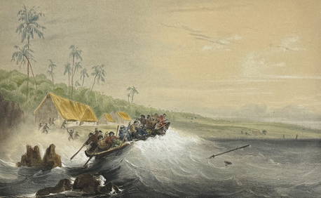
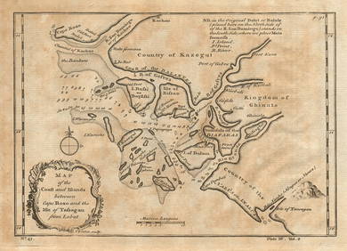
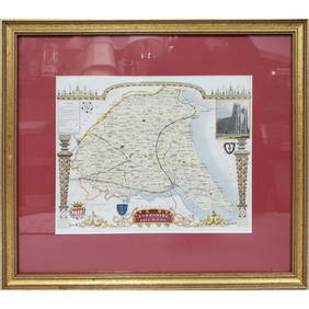
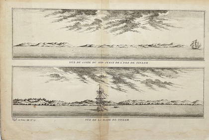
Mitchell - Map of the City of Washington (Washington, DC)Feb 24, 2024Mitchell - Map of FloridaFeb 24, 2024Mitchell - Map of TexasFeb 24, 2024Mitchell - Map of MichiganFeb 24, 2024Vaillant - Hawaii: Stranding in the Sandwich Islands (Echouage aux Iles Sandwich). 43Feb 24, 2024Coast & Islands between Cape Roxo. Guinea-Bissau & Bissagos. KITCHIN 1745 mapFeb 28, 2024West Africa. Liberia Sahara Senegambia Guinea. Mountains of Kong COLTON 1869 mapFeb 28, 2024Carte de la Guinée, contenant…'. Guinea & Cape Verde islands. BONNE 1771 mapFeb 28, 2024Johnson's Africa. Colonies & tribes. Liberia Nile Delta Cape Colony 1866 mapFeb 28, 2024Plan de la Baye & Isle d'Arguim'. Mauritania. Arguin island. BELLIN 1746 mapFeb 28, 2024Coste d’Afrique…' Guinea-Bissau & Bissagos archipelago. BELLIN 1746 old mapFeb 28, 2024Partie Occidentale de l’Afrique. West Africa coast Canary islands BONNE 1788 mapFeb 28, 2024CENTRAL AFRICA. Tanzania, Kenya, Angola, Zambia, Congo, Mozambique 1903 mapFeb 28, 2024French West Africa. Gold Coast. Sahara desert sand dunes. TIMES 1956 mapFeb 28, 2024Coste d’Afrique…' Guinea-Bissau & Bissagos archipelago. BELLIN/SCHLEY 1747 mapFeb 28, 2024Guinea-Bissau. Kazegut women. Galinhas island, Bissagos archipelago 1746 printFeb 28, 2024Churchill & Nieuhof 1744 Map. Batavia Jakarta IndonesiaMar 01, 2024Blackie (Pub) 1882 Folio Map. West India Islands & Central AmericaMar 01, 2024Old Antique Map of Yorkshire, East RidingMar 10, 2024James Cook - Antique map Australia titled 'Gezigt van het Eil. Suffren'. Antique map of SuffrenFeb 28, 2024Jacques Nicolas Bellin - Antique Map - Vue de la Rade de Tiniam, double antique coast view of theFeb 28, 2024Francis McNally - Antique Map of OceaniaFeb 28, 2024MAP, Atlantic Islands, TallisMar 12, 2024MAP, East Indies, Le RougeMar 12, 2024 