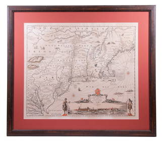
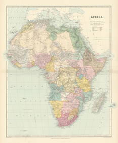
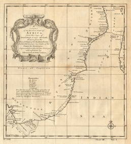
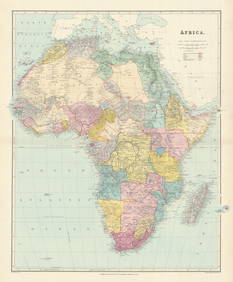
Map of South Africa. 1835.
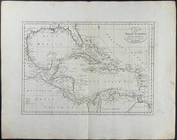
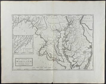
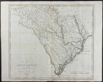
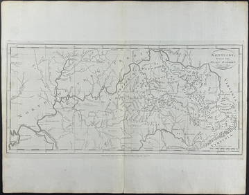
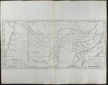
Carey, pub. 1796 - A Chart of the West IndiesFeb 24, 2024Carey, pub. 1796 - Map of the State of MarylandFeb 24, 2024Carey, pub. 1796 - Map of GeorgiaFeb 24, 2024Carey, pub. 1796 - Map of The State of South CarolinaFeb 24, 2024Carey, pub. 1796 - Map of KentuckyFeb 24, 2024Carey, pub. 1796 - Map of the Tennassee State formerly part of North Carolina (Tennessee)Feb 24, 2024Southern Africa Cape of Good Hope-Madagascar ADMIRALTY sea chart 1935 (1955) mapFeb 28, 2024SOUTH CENTRAL AFRICA. Shows Zambesi river as circular! WELLER 1863 old mapFeb 28, 2024SOUTHERN AFRICA. Congo British/Portuguese/German East Africa Rhodesia 1912 mapFeb 28, 2024Africa. Congo Free Trade Area. British South Africa Company. STANFORD 1896 mapFeb 28, 2024Colonial Southern Africa. British Portuguese German. Madagascar. TIMES 1895 mapFeb 28, 2024Afrique. Pays des Hottentots #50. Namibia South Africa VANDERMAELEN 1827 mapFeb 28, 2024East coast of Africa from the Cape… South Africa Mozambique. CHILD 1745 mapFeb 28, 2024Africa. Congo Free Trade Area. British South Africa Company. STANFORD 1894 mapFeb 28, 2024Coste Orientale d’Afrique'. South Africa Mozambique BELLIN/SCHLEY 1747 mapFeb 28, 2024Afrique. Pays des Hottentots #51. Botswana South Africa. VANDERMAELEN 1827 mapFeb 28, 2024SOUTHERN AFRICA & MALAY ARCHIPELAGO. Cape Colony Indonesia &c. BUTLER 1888 mapFeb 28, 2024NAMIBIA. South West Africa protectorate. HARMSWORTH 1920 old antique map chartFeb 28, 2024Colonial Southern Africa. British Portuguese German. Madagascar. TIMES 1900 mapFeb 28, 2024Churchill & Nieuhof 1744 Folio Map. Cape of Good Hope, South AfricaMar 01, 2024Blackie (Pub) 1882 Folio Map. South AfricaMar 01, 2024Stanford, Edward 1901 Large Map. South AfricaMar 01, 2024Helen Ledgwrlz - Illustrated map of the Cape Peninsula, South AfricaFeb 28, 2024MAP, South Africa, UllmannMar 12, 2024 