

Popular Searches
Popular Searches

Map: A 17thC engraved and hand coloured map of Scotland titled Strath-Navernia / Strath Navern after
You May Also Like


Similar Sale History
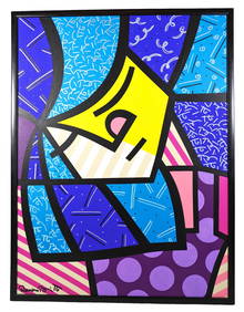
Sold

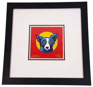
Sold

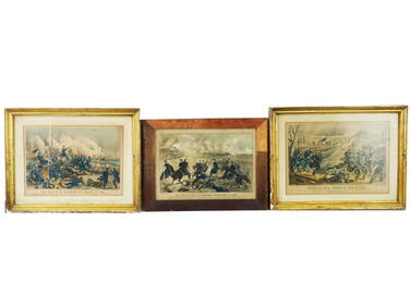
Sold

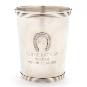
Sold

Sold

Sold
Sold

Sold

Sold
Sold

Sold

Sold

Sold

Sold

Sold

Sold

Sold


Sold
Sold

Sold

Sold

Sold

Upcoming Sales
View All


TOP