

Popular Searches
Popular Searches

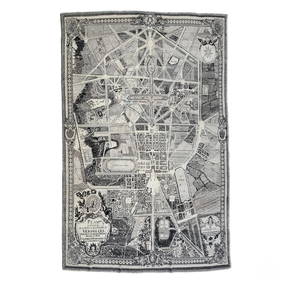
Map: A 17thC engraved and hand coloured map after Frederik de Wit (1630-1706) titled Nova Persiae,
You May Also Like


Similar Sale History
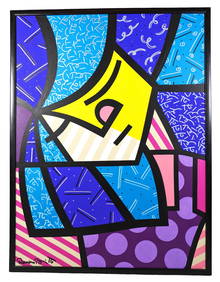
Sold


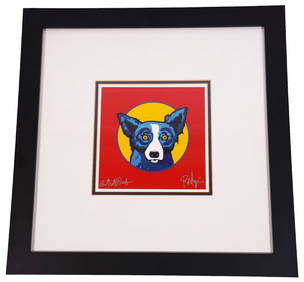
Sold


Sold

Sold

Sold


Sold


Sold

Sold

Sold


Sold

Sold

Sold

Sold

Sold

Sold


Upcoming Sales
View All


TOP