


Popular Searches
Popular Searches

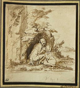
J.R. Booth, a 19th C. map of Paris taken from 'Lutetia
You May Also Like


Similar Sale History
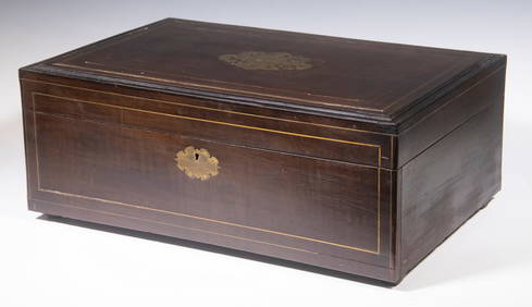
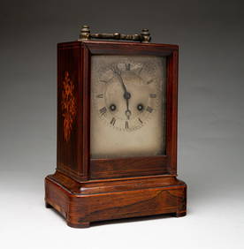
Sold

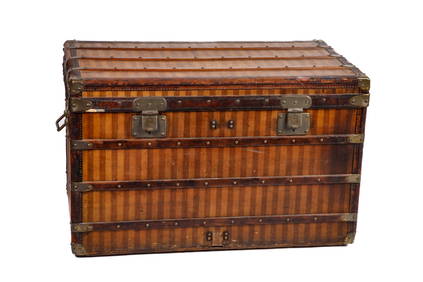
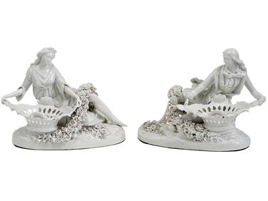
Sold

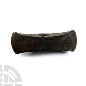
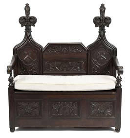
Sold

Sold

Sold

Sold

Sold

Sold

Sold

Sold

Sold


Sold

Sold

Sold

Sold

Sold

Sold

Sold

Sold

Sold

Sold


Upcoming Sales
View All


TOP