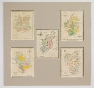
Johnston: Map of Ireland, 1861
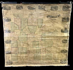
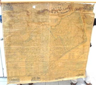
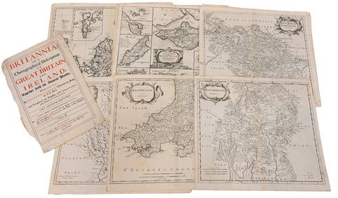
Map UNITED COUNTIES LEEDS & GRENVILLE by Walling 1861 Rare Canada Map 5ft x 5ftMar 02, 2024Portfolio of 15 County Maps by Robert Morden (English 1650-1703)Feb 24, 2024[MAP]. NICHOLLS, Sutton (1668-1729). An Epitome of Sr. Will...Mar 07, 20241861 County Map of IllinoisFeb 24, 2024Chatelain - 3 Maps of IrelandFeb 24, 2024Chatelain - 3 Maps of the British Isles (England, Ireland, Scotland)Feb 24, 2024De Jode, Rare, pub. 1593 - Map of the British Isles [England, Scotland, Ireland] (Angliae Scotiae etFeb 24, 2024STAR WARS: A NEW HOPE (1977) - Framed Hand-Drawn Joe Johnston Docking Bay StoryboardMar 13, 2024Ireland.- Smedley (Edward) Erin. A Georgraphical and Descriptive Poem, 2 parts in 1, first edition,Feb 29, 2024Mariposas Estate 1861 w/ Large hand-colored MapMar 07, 2024Johnson's California & West hand-colored map 1861Mar 07, 2024NORTH WEST AFRICA Maghreb Morocco Tunisia Algeria JOHNSTON 1897 old mapFeb 28, 2024MAGHREB. North Africa Morocco Algeria & Tunisia. JOHNSTON 1913 old antique mapFeb 28, 2024AFRICA NW & SOUTH. Maghreb. Cape Colony electoral divisions. JOHNSTON 1906 mapFeb 28, 2024COLONIAL CENTRAL AFRICA. Kenya Tanzania Belgian Congo Angola. JOHNSTON 1912 mapFeb 28, 2024Afrique…Nord-Ouest' & 'Inde' by Meissas. N Africa India Singapore 1861 old mapFeb 28, 2024COLONIAL CENTRAL AFRICA. Kenya Tanzania Belgian Congo Angola. JOHNSTON 1913 mapFeb 28, 2024COLONIAL/TRIBAL AFRICA British East/Central/South Africa JOHNSTON 1892 old mapFeb 28, 2024PRE COLONIAL WESTERN AFRICA. Shows Mountains of Kong. Tribes. WELLER 1863 mapFeb 28, 2024Bernard Scale (Irish 18th c.) mapsMar 02, 2024Cooke, George 1801 Antique Map. IrelandMar 01, 2024Stanford, Edward 1901 Large Map. IrelandMar 01, 2024MAPS, England & Wales, MercatorMar 12, 2024MAP, Ireland, MercatorMar 12, 2024 



![[MAP]. NICHOLLS, Sutton (1668-1729). An Epitome of Sr. Will... (1 of 1)](https://p1.liveauctioneers.com/928/318880/171361281_1_x.jpg?height=282&quality=70&version=1707501302)

![De Jode, Rare, pub. 1593 - Map of the British Isles [England, Scotland, Ireland] (Angliae Scotiae et (1 of 2)](https://p1.liveauctioneers.com/6581/319571/171593327_1_x.jpg?height=282&quality=70&version=1707853304)






![[MAP]. NICHOLLS, Sutton (1668-1729). An Epitome of Sr. Will... (1 of 1)](https://p1.liveauctioneers.com/928/318880/171361281_1_x.jpg?height=282&quality=70&version=1707501302)


![De Jode, Rare, pub. 1593 - Map of the British Isles [England, Scotland, Ireland] (Angliae Scotiae et (1 of 2)](https://p1.liveauctioneers.com/6581/319571/171593327_1_x.jpg?height=282&quality=70&version=1707853304)


