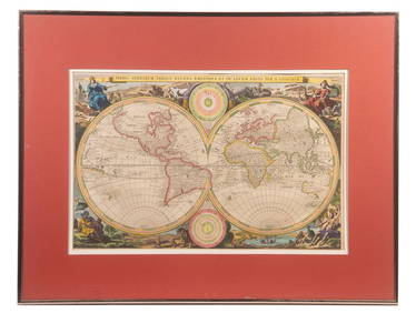
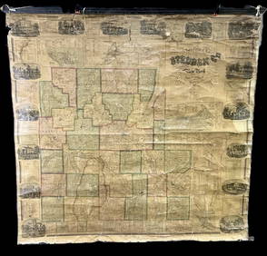
Johnston: Antique Map of World on Mercator's Projection
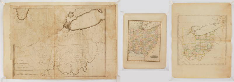
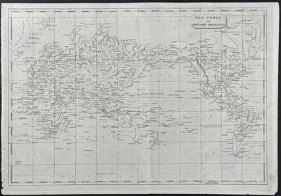
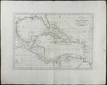
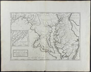
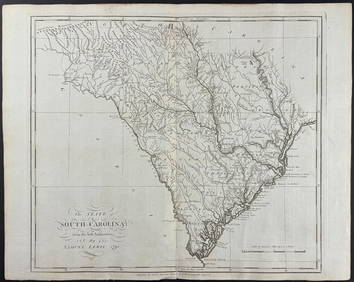
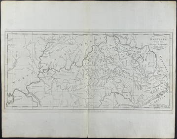
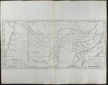
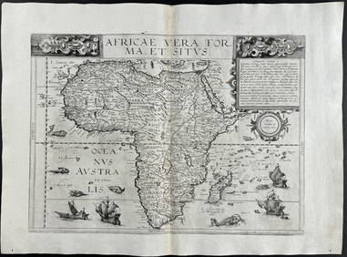
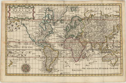
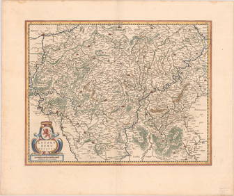
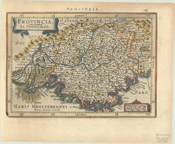
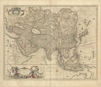
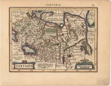
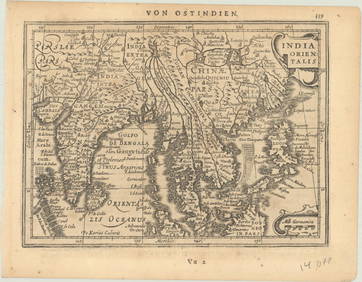
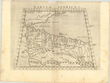
Arrowsmith & Lewis - Map of the World on Mercator's ProjectionFeb 24, 2024Carey, pub. 1796 - A Chart of the West IndiesFeb 24, 2024Carey, pub. 1796 - Map of the State of MarylandFeb 24, 2024Carey, pub. 1796 - Map of GeorgiaFeb 24, 2024Carey, pub. 1796 - Map of The State of South CarolinaFeb 24, 2024Carey, pub. 1796 - Map of KentuckyFeb 24, 2024Carey, pub. 1796 - Map of the Tennassee State formerly part of North Carolina (Tennessee)Feb 24, 2024De Jode, Rare, pub. 1593 - Map of Africa (Africae Vera Forma, et Situs)Feb 24, 2024MAGHREB. North Africa Morocco Algeria & Tunisia. JOHNSTON 1913 old antique mapFeb 28, 2024Blackie (Pub) 1882 Folio Map. World on Mercators ProjectionMar 01, 2024MAP, World, GraviusMar 12, 2024MAP, North Pole, AaMar 12, 2024MAP, Alaska & Canada, WytflietMar 12, 2024MAPS, England & Wales, MercatorMar 12, 2024MAP, England & Wales, MercatorMar 12, 2024MAP, Ireland, MercatorMar 12, 2024MAP, Luxembourg, MercatorMar 12, 2024MAP, France, MercatorMar 12, 2024MAP, Spain, MercatorMar 12, 2024MAP, Asia, VisscherMar 12, 2024MAP, Asia, MercatorMar 12, 2024MAP, Southern Asia, MercatorMar 12, 2024MAP, Africa, PtolemyMar 12, 2024ENGRAVING, Portrait, HondiusMar 12, 2024 