Gray's Atlas of the United States, with General Maps
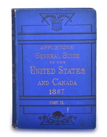
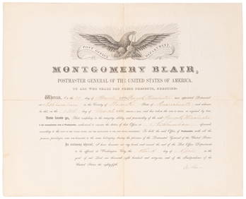
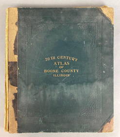
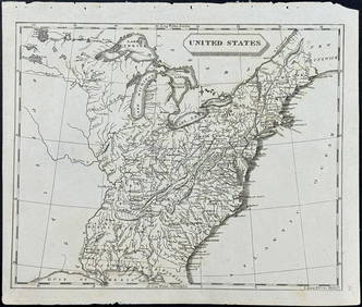
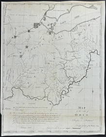
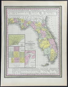
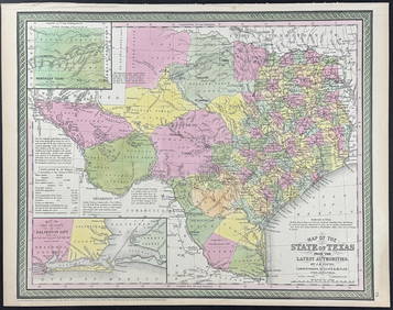
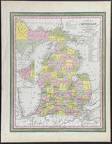
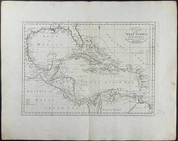
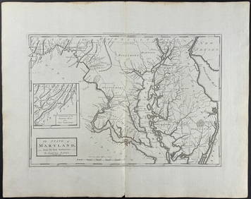
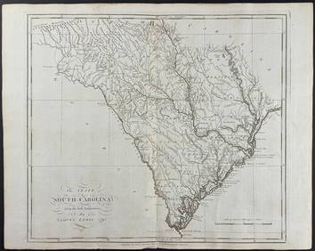
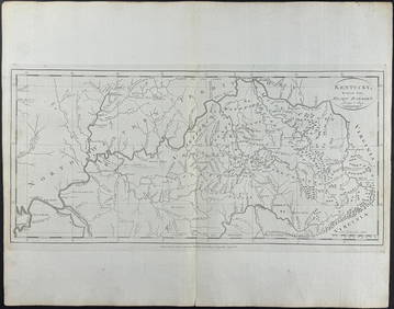
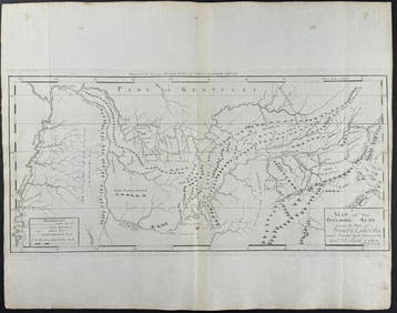
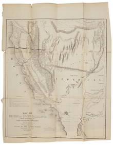
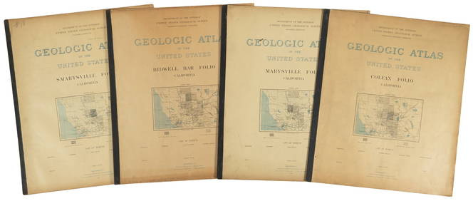
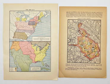
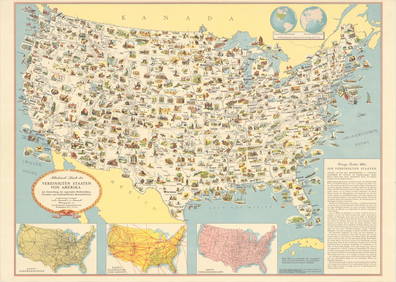
1887 Appletons' General Guide to the United State and Canada Part IIMar 08, 2024SOMERSET, Lord Charles (1767-1831) and BLAIR, Montgomery (1...Mar 07, 20241905 20th Century Atlas of Boone County IllinoisFeb 24, 2024Arrowsmith & Lewis - Map of the United StatesFeb 24, 2024Putnam - First Map of the State of Ohio by Rufus PutnamFeb 24, 2024Mitchell - Map of the City of Washington (Washington, DC)Feb 24, 2024Mitchell - Map of FloridaFeb 24, 2024Mitchell - Map of TexasFeb 24, 2024Mitchell - Map of MichiganFeb 24, 2024Carey, pub. 1796 - A Chart of the West IndiesFeb 24, 2024Carey, pub. 1796 - Map of the State of MarylandFeb 24, 2024Carey, pub. 1796 - Map of GeorgiaFeb 24, 2024Carey, pub. 1796 - Map of The State of South CarolinaFeb 24, 2024Carey, pub. 1796 - Map of KentuckyFeb 24, 2024Carey, pub. 1796 - Map of the Tennassee State formerly part of North Carolina (Tennessee)Feb 24, 2024Putnam 1921 Atlas of the World in excellent conditionFeb 27, 2024Preuss/Fremont map of Upper California 1850Mar 07, 2024Four U.S.G.S. Geologic Atlas foliosMar 07, 2024Blackie (Pub) 1882 Folio Map. West USA - Pacific StatesMar 01, 2024Blackie (Pub) 1882 Folio Map. United States of North AmericaMar 01, 2024Robert H Labberton - Map of The Territory of the Present United States - The territory of theFeb 28, 2024Books on American Interest, 8Apr 16, 2024MAP, United States, General Drafting Co.Mar 12, 2024MAPS IN REPORT, Eastern US, G.L.O.Mar 12, 2024 





![[BASEBALL]. [SHEET MUSIC]. KALBFLEISCH, J. H. The Live Oak ... (1 of 5)](https://p1.liveauctioneers.com/928/318880/171361400_1_x.jpg?height=282&quality=70&version=1707501302)









![[BASEBALL]. [SHEET MUSIC]. KALBFLEISCH, J. H. The Live Oak ... (1 of 5)](https://p1.liveauctioneers.com/928/318880/171361400_1_x.jpg?height=282&quality=70&version=1707501302)


