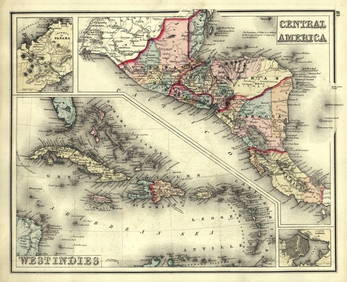
Gray's Atlas Map of the United States, 1873
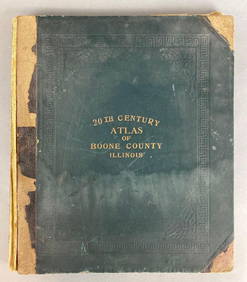
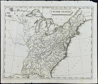
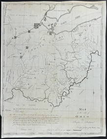
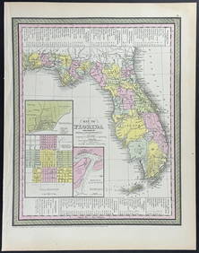
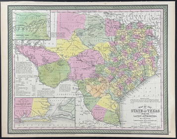
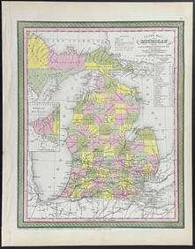
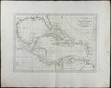
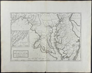
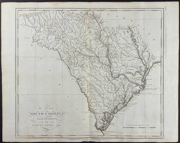
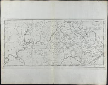
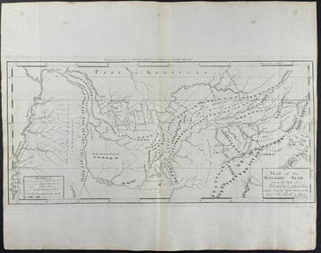
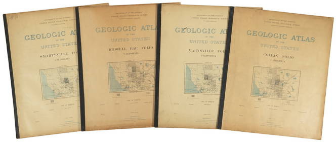
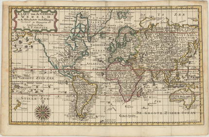
1905 20th Century Atlas of Boone County IllinoisFeb 24, 2024Arrowsmith & Lewis - Map of the United StatesFeb 24, 2024Putnam - First Map of the State of Ohio by Rufus PutnamFeb 24, 2024Mitchell - Map of the City of Washington (Washington, DC)Feb 24, 2024Mitchell - Map of FloridaFeb 24, 2024Mitchell - Map of TexasFeb 24, 2024Mitchell - Map of MichiganFeb 24, 2024Carey, pub. 1796 - A Chart of the West IndiesFeb 24, 2024Carey, pub. 1796 - Map of the State of MarylandFeb 24, 2024Carey, pub. 1796 - Map of GeorgiaFeb 24, 2024Carey, pub. 1796 - Map of The State of South CarolinaFeb 24, 2024Carey, pub. 1796 - Map of KentuckyFeb 24, 2024Carey, pub. 1796 - Map of the Tennassee State formerly part of North Carolina (Tennessee)Feb 24, 2024Putnam 1921 Atlas of the World in excellent conditionFeb 27, 2024Gray's Atlas Map of North AmericaFeb 27, 2024Quicksilver Deposits atlas 1887Mar 07, 2024Leadville CO mining atlas + text vol. 1883-86Mar 07, 2024Four U.S.G.S. Geologic Atlas foliosMar 07, 2024Blackie (Pub) 1882 Folio Map. West USA - Pacific StatesMar 01, 2024Blackie (Pub) 1882 Folio Map. United States of North AmericaMar 01, 2024Robert H Labberton - Map of The Territory of the Present United States - The territory of theFeb 28, 2024MAP, World, GraviusMar 12, 2024MAP, Mid-Atlantic US, SauthierMar 12, 2024MAP, US & Mexico, FerMar 12, 2024 