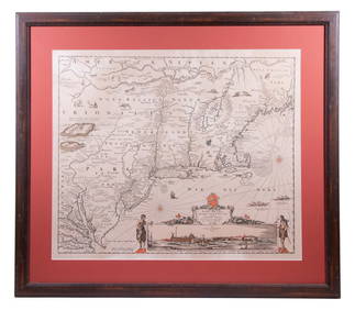
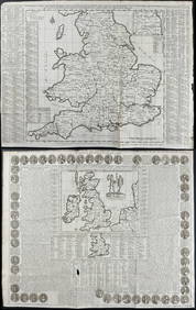
De Jode Map of British Isles
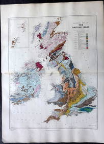
LATE 17TH C. FRENCH MAP OF THE NEW WORLD BY ALEXIS-HUBERT JAILLOT (1632-1712)Feb 24, 2024AN ANTIQUE FOLDING MAP OF THE BRITISH ISLES DATED 1873Feb 28, 2024Chatelain - 3 Maps of the British Isles (England, Ireland, Scotland)Feb 24, 2024De Jode, Rare, pub. 1593 - Map of Luxembourg (Lutzenburgii montuosissimi ac saltuosissimi ducatusFeb 24, 2024De Jode, Rare, pub. 1593 - Map of the British Isles [England, Scotland, Ireland] (Angliae Scotiae etFeb 24, 2024De Jode, Rare, pub. 1593 - Map of Italy (Italiae Totius Orbis olim Domatricis Nova ExactissFeb 24, 2024De Jode, Rare, pub. 1593 - Map of the Czech Republic or Kingdom of Bohemia (Chorographia insignisFeb 24, 2024De Jode, Rare, pub. 1593 - Map of the Middle East, Eastern Asia (Primae Partis Asiae accurataFeb 24, 2024De Jode, Rare, pub. 1593 - Map of Africa (Africae Vera Forma, et Situs)Feb 24, 2024Map: A 17thC engraved map of the British Isles titled A Generall Mapp of the Isles of GreatFeb 26, 20241764 Bellin Map of Martinique -- Isle de la MartiniqueFeb 27, 20241764 Bellin Map of Antigua -- Carte de l'Isle d'Antigue Situee par la Latitude 17 Degres et par laFeb 27, 20241845 Delisle/Bauche Map of Martinique -- Carte de l'Isle de la Martinique Colonie Francoise de l'uneFeb 27, 2024De l'Isle's influential map of Americas 1722Mar 07, 2024Carte de la Guinée, contenant…'. Guinea & Cape Verde islands. BONNE 1771 mapFeb 28, 2024Le Canal de Mosambique, l'Isle de Madagascar… Mozambique. Africa. BONNE 1788 mapFeb 28, 2024Le Canal de Mosambique, l'Isle de Madagascar… Mozambique. Africa. BONNE 1790 mapFeb 28, 2024Stanford, Edward 1901 Large Map. Geological Map of the British IslesMar 01, 2024Stanford, Edward 1901 Large Map. Hydrographical Map of the British IslesMar 01, 2024Stanford, Edward 1901 Large Map. Stereographical Map of The British IslesMar 01, 2024Paterson & Mogg 1822 Pair of British Road Maps. Isle of Thanet & WightMar 01, 2024MAP, Britain, HomannMar 12, 2024MAP, France, JodeMar 12, 2024MAP, East Indies, PeetersMar 12, 2024 







![De Jode, Rare, pub. 1593 - Map of the British Isles [England, Scotland, Ireland] (Angliae Scotiae et (1 of 2)](https://p1.liveauctioneers.com/6581/319571/171593327_1_x.jpg?height=282&quality=70&version=1707853304)











![De Jode, Rare, pub. 1593 - Map of the British Isles [England, Scotland, Ireland] (Angliae Scotiae et (1 of 2)](https://p1.liveauctioneers.com/6581/319571/171593327_1_x.jpg?height=282&quality=70&version=1707853304)


