

Popular Searches
Popular Searches

Colorful Illustrated Map - 1938 Southern California Tourism
You May Also Like


Similar Sale History

Sold

Sold

Sold

Sold


Sold

Sold

Sold

Sold

Sold

Sold

Sold

Sold

Sold


Sold


Sold


Sold

Sold

Sold


Upcoming Sales
View All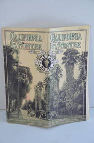


TOP