British County Maps
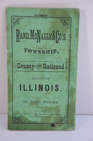
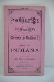
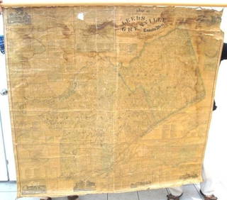
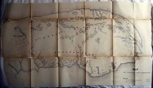
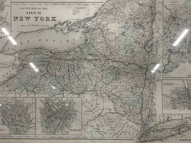
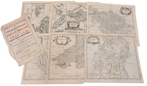
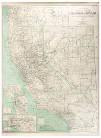
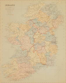
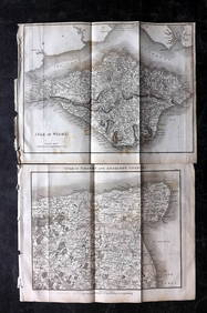
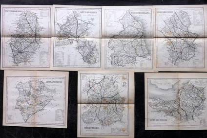
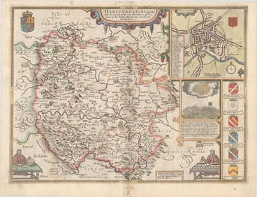
Crams Map of North Dakota-Complete Railroad System and County Map-1907Feb 24, 2024Rand McNally County/Township/Railroad Map of Kansas-1911Feb 24, 2024Rand McNally Township County and Railroad Map of Illinois-1879Feb 24, 2024Rand McNally Township County and Railroad Map of Indiana-1880Feb 24, 2024Map UNITED COUNTIES LEEDS & GRENVILLE by Walling 1861 Rare Canada Map 5ft x 5ftMar 02, 2024DUNLEVIE c1856 Map Counties Of Gaspe & Bonaventure Quebec Canada SCARCE! #2Mar 02, 2024DUNLEVIE c1856 Map Counties Of Gaspe & Bonaventure Quebec Canada SCARCE! #1Mar 02, 20245ft Original1857 Steuben County NY Wall MapFeb 24, 2024Jerusalem Map for British Soldiers in Palestine - WW2Feb 27, 2024Vintage County Map Of NY State Plate EngravingFeb 28, 2024Portfolio of 15 County Maps by Robert Morden (English 1650-1703)Feb 24, 2024FRAMED WARREN COUNTY MAPFeb 25, 20241861 County Map of IllinoisFeb 24, 2024VARIOUS ARTISTS [BRITISH TRAVEL GUIDES]. Group of 6 map booklets and flyers. 1930s.Feb 29, 2024Large map of California & Nevada 1907Mar 07, 2024Maps of All Texas Counties, 1885-1927Mar 07, 2024Hate British characters story map silk scroll vertical axisFeb 28, 2024Edward Stanford (British 1827-1904) mapMar 02, 2024Paterson & Mogg 1822 Pair of British Road Maps. Isle of Thanet & WightMar 01, 2024Paterson & Mogg 1822 Pair of British Road Maps. Rye, Eastbourne, SouthamptonMar 01, 2024Paterson & Mogg 1822 Pair of British Road Maps. Deal, Hythe, Shoreham, ChichesterMar 01, 2024Dugdale & Archer C1840 Lot of 7 British County MapsMar 01, 2024Map of British IndiaMar 08, 2024MAP, England, SpeedMar 12, 2024 







![VARIOUS ARTISTS [BRITISH TRAVEL GUIDES]. Group of 6 map booklets and flyers. 1930s. (1 of 2)](https://p1.liveauctioneers.com/199/319703/171640571_1_x.jpg?height=282&quality=70&version=1707943705)






![VARIOUS ARTISTS [BRITISH TRAVEL GUIDES]. Group of 6 map booklets and flyers. 1930s. (1 of 2)](https://p1.liveauctioneers.com/199/319703/171640571_1_x.jpg?height=282&quality=70&version=1707943705)


