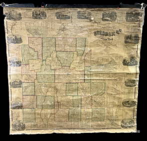
Antique Map - Railway, Postal & Telegraph Map of New South Wales - Australia
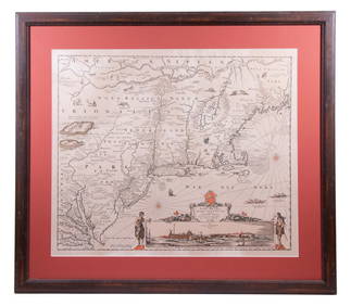
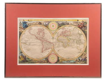
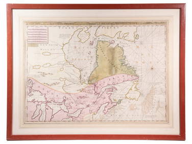
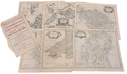
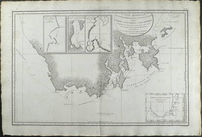
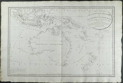
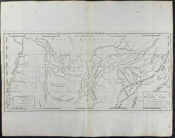
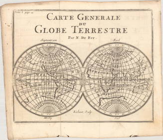
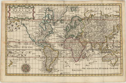
LARGE LATE 17TH C. DUTCH CHART OF CANADA, GREAT LAKES, NEW FRANCE, LABRADOR, HUDSON BAY, BY PIERREFeb 24, 2024Portfolio of 15 County Maps by Robert Morden (English 1650-1703)Feb 24, 2024D'Entrecasteaux - Australia: Chart of Van Diemen's Land (New Holland). 3Feb 24, 2024D'Entrecasteaux - Map of Australia (New Holland), New Zealand, and southern Asia and surroundingFeb 24, 2024Carey, pub. 1796 - Map of KentuckyFeb 24, 2024Carey, pub. 1796 - Map of the Tennassee State formerly part of North Carolina (Tennessee)Feb 24, 2024An archive of early 20thC monochrome photographs depicting various pubs / inns / restaurants inFeb 26, 2024Philips' Atlas of Counties of EnglandMar 07, 2024South Namibia coast. Walvis Bay-Orange River ADMIRALTY sea chart 1881 (1954) mapFeb 28, 2024Antique Style Framed Map of New JerseyMar 01, 2024Framed New South Wales 6th Hole Golf PhotographFeb 29, 2024Antique Pennsylvania Map Fragment incl Wellersburg and New CentervilleMar 02, 2024MAP, World, FerMar 12, 2024MAP, World, GraviusMar 12, 2024MAP, World, BankesMar 12, 2024MAP, South Pole, KeizerMar 12, 2024MAP, Game, England, DartonMar 12, 2024MAP, US, Florida, Greyhound Co.Mar 12, 2024MAP, New York, HaywardMar 12, 2024MAP, South America, AaMar 12, 2024MAP, Asia, VisscherMar 12, 2024MAP, Asia, GraviusMar 12, 2024MAP, South Africa, UllmannMar 12, 2024MAP, Australia, CookMar 12, 2024 