LESSER SCAUP, J. DENISON
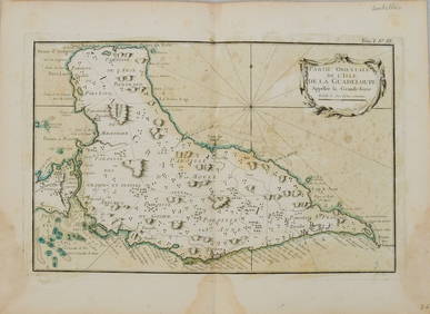
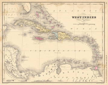
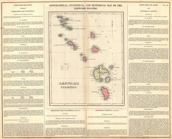
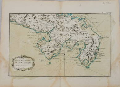
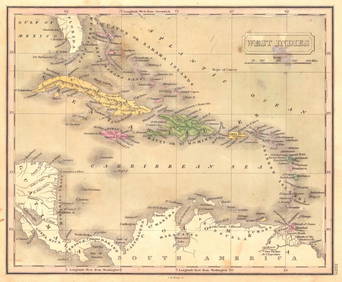
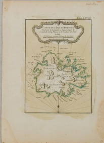
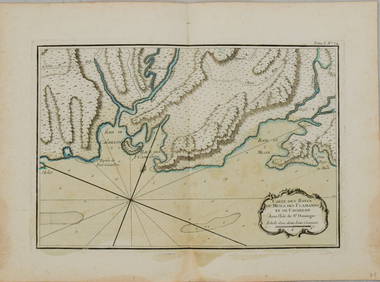
British Islands in The West IndiesFeb 27, 20241764 Bellin Map of Lesser Antilles Northern Portion -- Petites Antilles ou Isles du Vent 3e. Partie.Feb 27, 20241764 Bellin Map of Eastern Guadeloupe in the Lesser Antilles -- Partie Orientale de l'Isle de laFeb 27, 2024West Indies. McNally's System of Geography, Map No. 21Feb 27, 2024Map of Mexico, Central America, New Grenada, Venzuela and the West IndiesFeb 27, 2024Geographical, Statistical, and Historical Map of the Leeward Islands.Feb 27, 20241764 Bellin Map of Mari-Galante Near Guadeloupe -- Carte de l'Isle de Mari-GalanteFeb 27, 20241764 Bellin Map of St. Kitts -- Carte de l'Isle St. ChristopheFeb 27, 20241764 Bellin Map of Southern Portion of Martinique -- Partie Meridionale de la MartiniqueFeb 27, 2024Mexico, Central America & West IndiesFeb 27, 20241764 Bellin Map of Western Guadeloupe in the Lesser Antilles -- Partie Occidentale de l'Isle de laFeb 27, 2024West India IslandsFeb 27, 2024West IndiesFeb 27, 20241764 Bellin Map of Martinique -- Isle de la MartiniqueFeb 27, 20241764 Bellin Map of Antigua -- Carte de l'Isle d'Antigue Situee par la Latitude 17 Degres et par laFeb 27, 2024West India Islands, and Central America.Feb 27, 2024Cuba With General Map of the West IndiesFeb 27, 2024Antilles Or West-India IslandsFeb 27, 20241764 Bellin Chart of Three South Haitian Bays -- Carte des Bayes du Mesle des Flamands et deFeb 27, 2024Mexico, Central American and West IndiesFeb 27, 2024West IndiesFeb 27, 20241764 Bellin Map of Fort Louis Area of Guadeloupe -- Environs du Fort Louis de la GuadeloupeFeb 27, 20241764 Bellin Map of Port Antonio, Jamaica -- Plan des Havres de Port Antonio et de Saint FrancoisFeb 27, 2024Mexico, Central America and West Indies Physical PoliticalFeb 27, 2024 

