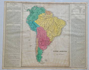
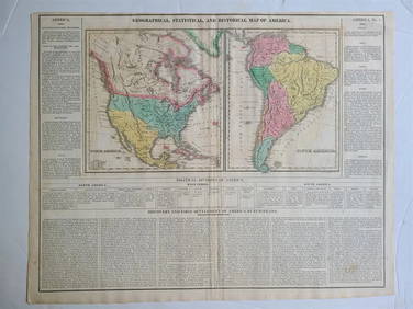
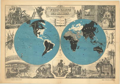
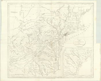
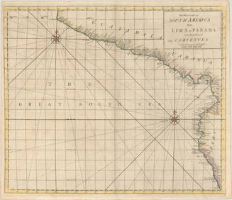
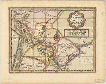
Antique map, "America Meridionalis", south America", by
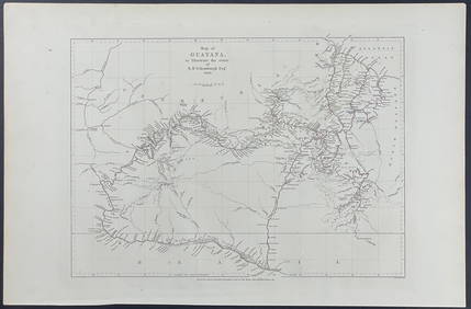
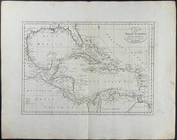
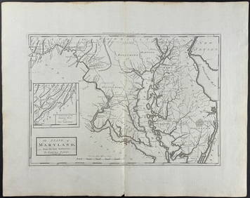
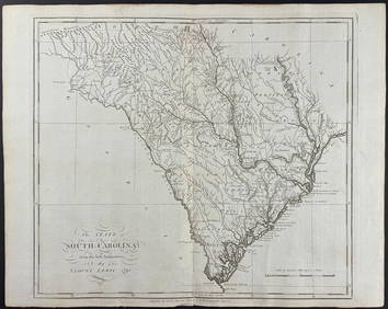
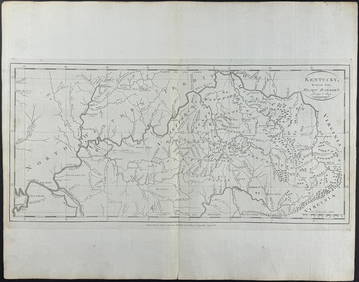
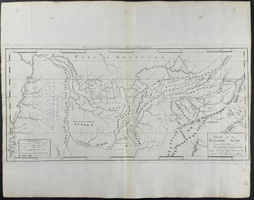
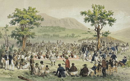
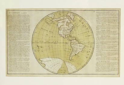
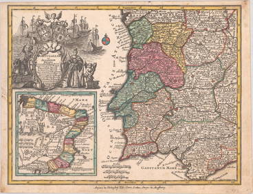
Schomburgk - Map of GuayanaFeb 24, 2024Carey, pub. 1796 - A Chart of the West IndiesFeb 24, 2024Carey, pub. 1796 - Map of the State of MarylandFeb 24, 2024Carey, pub. 1796 - Map of GeorgiaFeb 24, 2024Carey, pub. 1796 - Map of The State of South CarolinaFeb 24, 2024Carey, pub. 1796 - Map of KentuckyFeb 24, 2024Carey, pub. 1796 - Map of the Tennassee State formerly part of North Carolina (Tennessee)Feb 24, 2024Vaillant - Hawaiian Dance (Scene de Danse aux Iles Sandwich). 42Feb 24, 2024Map: A 19thC engraved and hand coloured map of South America. Published by the Society for theFeb 26, 2024Map: An 18thC engraved and hand coloured map of North America and South America, titled DeFeb 26, 20241822 MAP of SOUTH AMERICA GEOGRAPHICAL STATISTICAL HISTORICAL antique 17.5x 22"Feb 27, 20241822 MAP of NORTH & SOUTH AMERICA GEOGRAPHICAL STATISTICAL HISTORICAL antiqueFeb 27, 2024Americas with Californa an island 1705Mar 07, 2024Cooke, George 1801 Antique Map. South AmericaMar 01, 2024Johnson & Exley 1812 Antique Map. South AmericaMar 01, 2024MAP, World, BaschlinMar 12, 2024MAP, Eastern US, StockdaleMar 12, 2024MAP, Mexico, SenexMar 12, 2024MAP, Lesser Antilles, GoosMar 12, 2024MAP, Cartagena, TirionMar 12, 2024MAP, South America, AaMar 12, 2024MAP, Tierra del Fuego, BlaeuMar 12, 2024ENGRAVING, South America, MalletMar 12, 2024MAP, Portugal, SeutterMar 12, 2024 