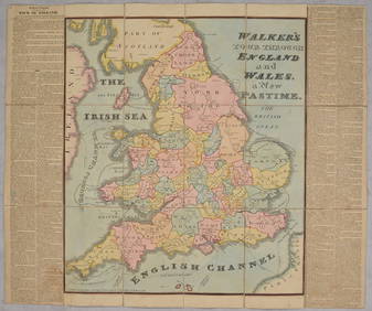
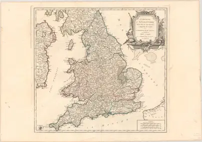
Faden, A New Map of England, Wales & Scotland
18TH C. ENGLISH NEEDLEWORK MAPFeb 24, 2024OGILVY & BOWEN c1736 Original Map of Oxfordshire Berkshire Etc.Mar 02, 2024Portfolio of 15 County Maps by Robert Morden (English 1650-1703)Feb 24, 20241849 THE NEW-ENGLAND MERCANTILE UNIONApr 20, 2024[MAP]. [ALBRIZZI, Giambatista, 1698-1777]. Carta Geografica...Mar 07, 2024Chatelain - 3 Maps of the British Isles (England, Ireland, Scotland)Feb 24, 2024De Jode, Rare, pub. 1593 - Map of the British Isles [England, Scotland, Ireland] (Angliae Scotiae etFeb 24, 2024THREE HAND COLORED AND ADORNED PRINTS.Mar 08, 2024VARIOUS ARTISTS [BRITISH TRAVEL GUIDES]. Group of 6 map booklets and flyers. 1930s.Feb 29, 2024Philips' Atlas of Counties of EnglandMar 07, 2024Cooke, George 1801 Antique Map. England & WalesMar 01, 2024Stanford, Edward 1901 Large Map. England and WalesMar 01, 2024Dugdale & Archer C1840 Lot of 7 British County MapsMar 01, 2024Late 18th century map of England and Wales sampler and two printsMar 05, 2024J. Barlow - Antique Map of England and WalesFeb 28, 2024Brass Rubbing Art, Simon De WensleyFeb 28, 2024Herman Moll A New Map of Ye North Parts of AmericaMar 14, 2024MAP, Game, England, DartonMar 12, 2024MAP, England & Wales, Robert de VaugondyMar 12, 2024MAP, England & Wales, BlairMar 12, 2024MAP, England & Wales, BartholomewMar 12, 2024MAPS, England & Wales, MercatorMar 12, 2024MAP, England & Wales, MercatorMar 12, 2024MAP, Scotland, BlaeuMar 12, 2024 

![[MAP]. [ALBRIZZI, Giambatista, 1698-1777]. Carta Geografica... (1 of 1)](https://p1.liveauctioneers.com/928/318880/171361280_1_x.jpg?height=282&quality=70&version=1707501302)
![De Jode, Rare, pub. 1593 - Map of the British Isles [England, Scotland, Ireland] (Angliae Scotiae et (1 of 2)](https://p1.liveauctioneers.com/6581/319571/171593327_1_x.jpg?height=282&quality=70&version=1707853304)

![VARIOUS ARTISTS [BRITISH TRAVEL GUIDES]. Group of 6 map booklets and flyers. 1930s. (1 of 2)](https://p1.liveauctioneers.com/199/319703/171640571_1_x.jpg?height=282&quality=70&version=1707943705)
