


Popular Searches
Popular Searches

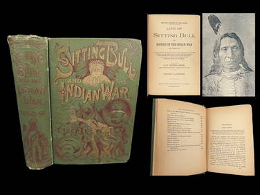
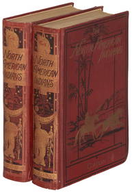
1890 Report on American Indians with many maps and
You May Also Like


Similar Sale History
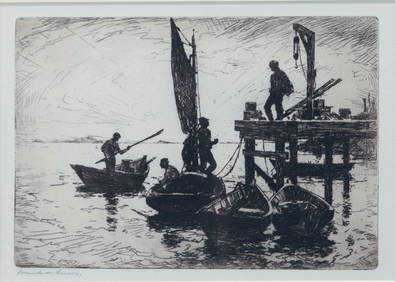
Sold

Sold

Sold

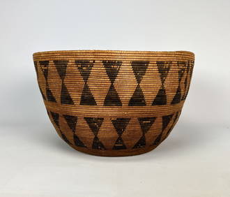
Sold

Sold

Sold

Sold

Sold

Sold


Sold

Sold

Sold

Sold

Sold

Sold

Sold

Sold

Sold

Sold

Sold

Sold

Sold


Upcoming Sales
View All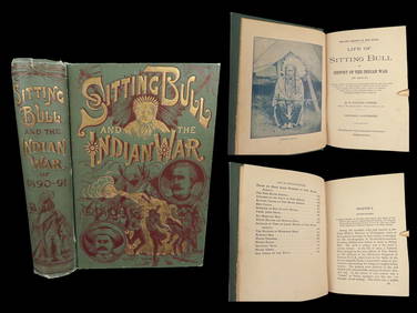


TOP