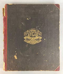
1880 BOUND ATLAS OF BARNSTABLE COUNTY, PUBLISHED
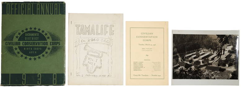
Rand McNally & Co's New Ideal State and County Survey and Atlas 1911Apr 20, 20241872 New Combination Atlas of Lee County Illinois BookFeb 24, 2024Battle of the Nile: Disposition of the English & French Fleets, at the Commencement of the Action,Feb 24, 2024Putnam - First Map of the State of Ohio by Rufus PutnamFeb 24, 2024Mitchell - Map of TexasFeb 24, 2024Carey, pub. 1796 - A Chart of the West IndiesFeb 24, 2024Carey, pub. 1796 - Map of the State of MarylandFeb 24, 2024Carey, pub. 1796 - Map of GeorgiaFeb 24, 2024Carey, pub. 1796 - Map of The State of South CarolinaFeb 24, 2024Carey, pub. 1796 - Map of KentuckyFeb 24, 2024Carey, pub. 1796 - Map of the Tennassee State formerly part of North Carolina (Tennessee)Feb 24, 2024De Jode, Rare, pub. 1593 - Map of the Czech Republic or Kingdom of Bohemia (Chorographia insignisFeb 24, 2024De Jode, Rare, pub. 1593 - Map of the Middle East, Eastern Asia (Primae Partis Asiae accurataFeb 24, 2024Egill Jacobsen and Asger Jorn books with 6 lithographsMar 06, 2024Bookbinding.- Binding.- Zaehnsdorf (Joseph W.) The Art of Bookbinding, first edition, George Bell &Feb 29, 2024A 1785 Antonio Zatta map of the Holy landFeb 29, 2024Rare Marin County CCC ephemeraMar 07, 202419th c. astronomy textbook w/ star atlasMar 07, 2024W.H. Jackson photochrome of Golden GateMar 07, 2024Philips' Atlas of Counties of EnglandMar 07, 2024Rand McNally & Co's Montana map 1880Mar 07, 20241876 Antique Atlas of York County, PA (2)Mar 01, 2024Map of Hungary, incl Transylvania, 1751Mar 08, 2024MAPS IN BOOKS, Atlases, Buy de MornasMar 12, 2024