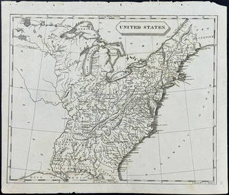
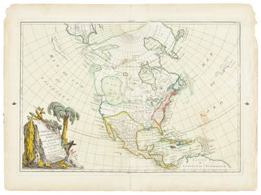
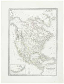
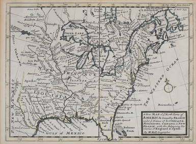
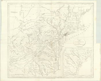
ENGRAVED FOLIO MAP, EASTERN NORTH AMERICA
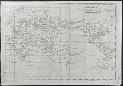
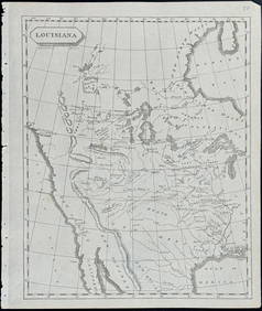
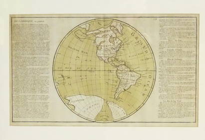
Arrowsmith & Lewis - Map of North AmericaFeb 24, 2024Arrowsmith & Lewis - Map of the World on Mercator's ProjectionFeb 24, 2024Arrowsmith & Lewis - Map of LouisianaFeb 24, 2024Arrowsmith & Lewis - Map of the United StatesFeb 24, 2024Map: An 18thC engraved and hand coloured map of North America and South America, titled DeFeb 26, 2024Zebulon Pike's Exploratory Travels 1st U.K. edMar 07, 2024The Americas in 1596Mar 07, 2024Americas with Californa an island 1705Mar 07, 2024Mercator's map of China 1606Mar 07, 2024Greenhow's map of western North America 1844Mar 07, 2024Large map of the Americas 1794Mar 07, 202415 Maps of North America 1st half of 19th centuryMar 07, 2024Janvier map of North AmericaMar 07, 2024Lapie map of N. America with independent TexasMar 07, 2024Italian edition of Sanson's map of North America, 1677Mar 07, 2024Sanson/Jaillot map of North America 1719Mar 07, 2024Seale map of North America California an islandMar 07, 2024Tanner's North America independent TexasMar 07, 2024North America in 1814Mar 07, 2024Cooke, George 1801 Antique Map. North AmericaMar 01, 2024Blackie (Pub) 1882 Folio Map. West USA - Pacific StatesMar 01, 2024Blackie (Pub) 1882 Folio Map. United States of North AmericaMar 01, 2024Herman Moll A New Map of Ye North Parts of AmericaMar 14, 2024MAP, Eastern US, StockdaleMar 12, 2024 

