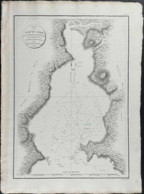
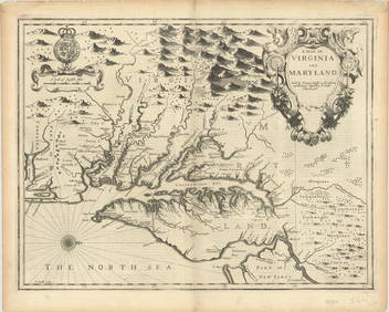
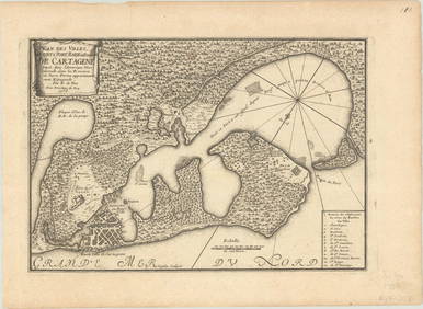
Map of Massachusets Bay and Shore from Plymouth to
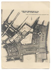
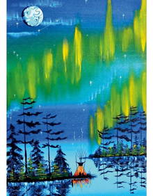
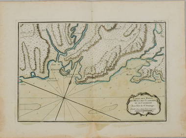
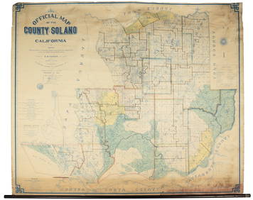
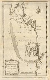
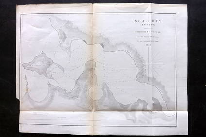
Proposed Sportsground Map - Haifa, Palestine - 1926Feb 27, 2024Bay and Enarco Road MapsFeb 25, 2024Antique Miniature Japtripatti Jagannath PaintingFeb 24, 2024D'Entrecasteaux - Tasmania, Australia: Map of the Northern Portion of Recherche Bay. 5Feb 24, 20241758 Magazine Maps of Gibraltar and ZellFeb 27, 202412" x 14" William Monague's "Northern Lights" Framed Art PrintMar 21, 202412" x 14?? Mother Earth Framed Picture By William MonagueMar 21, 20241764 Bellin Chart of Three South Haitian Bays -- Carte des Bayes du Mesle des Flamands et deFeb 27, 2024Folding map of the East Bay, 1913Mar 07, 2024Wall map of Solano County, California 1915Mar 07, 2024Coste Occidentale d’Afrique…' Arguin Bay Cap Blanc Mauritania. BELLIN 1746 mapFeb 28, 2024West coast of Africa from Cape Blanco… Arguin bay, Mauritania. LABAT 1745 mapFeb 28, 2024Coste Occidentale d’Afrique'. Bay of Arguin, Mauritania. BELLIN/SCHLEY 1747 mapFeb 28, 2024South Namibia coast. Walvis Bay-Orange River ADMIRALTY sea chart 1881 (1954) mapFeb 28, 2024Perry, Matthew C. 1856 Large Map. Shah Bay, Lew Chew I. JapanMar 01, 2024"It's a girl!" antique photographic post cardMar 02, 2024Mary Jane Thomas Stokes - Map of Lighthouses of the Chesapeake Bay. Past and PresentFeb 28, 2024MAPS IN REPORT, Eastern US, G.L.O.Mar 12, 2024MAP, Mid-Atlantic US, SpeedMar 12, 2024MAP, Cartagena, FerMar 12, 2024MAP, Guyana, MalletMar 12, 2024MAP, Spain, JanssonMar 12, 2024MAP, Italy, GaultierMar 12, 2024MAP, Southern Asia, PeetersMar 12, 2024 
