Maps of Navajo Country
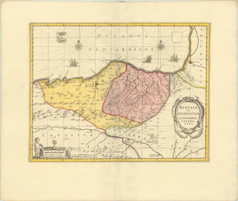
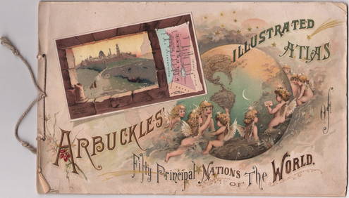
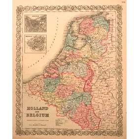
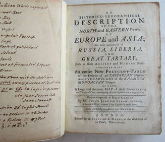
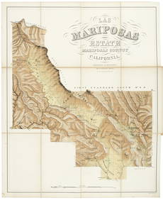
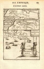
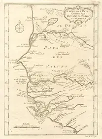
LARGE GULF SERVICE STATION MAP COLLECTION WITH DISPLAY STAND.Feb 24, 202419thc J. H. Colton Map of Holland And BelgiumMar 02, 2024These United States 1968 Folio Size HardbackApr 20, 20241764 MAP OF COUNTRIES THIRTY MILES ROUND LONDON antique 12.5 by 15"Feb 27, 20241738 RUSSIA SIBERIA & GREAT TARTARY Description illustrated ANTIQUE in ENGLISHFeb 27, 2024Mariposas Estate 1861 w/ Large hand-colored MapMar 07, 202491 USGS maps from 1898 original bindingMar 07, 2024Wilkinson Atlas Classica, 1808 hand-colored mapsMar 07, 2024Carte de la Guinée, contenant…'. Guinea & Cape Verde islands. BONNE 1771 mapFeb 28, 2024NORTH AFRICA. 'Biledulgerid', a former North African country. MALLET 1683 mapFeb 28, 2024Rivières de Sanaga & Gambra'. Senegal Gambia rivers. Guinea. BELLIN 1746 mapFeb 28, 2024Stanford, Edward 1901 Large Map. North PoleMar 01, 2024Stanford, Edward 1901 Large Map. Burma and Adjacent CountriesMar 01, 2024Vintage Airplane Desk Model [Air France]Mar 06, 2024Vintage Geometric Navajo Native American Handwoven Rug Carpet BlanketMar 02, 2024MAP, United States, PatitucciMar 12, 2024MAP, Low Countries, OrteliusMar 12, 2024MAP, Low Countries, BlaeuMar 12, 2024MAP, Low Countries, VisscherMar 12, 2024MAP, Low Countries, MollMar 12, 2024MAPS IN BOOK, Low Countries, Covens & MortierMar 12, 2024MAP, Spain, JanssonMar 12, 2024MAPS IN BOOK, Germany, Le RougeMar 12, 2024MAPS IN BOOK, Atlases, Arbuckle Bros.Mar 12, 2024 






![Vintage Airplane Desk Model [Air France] (1 of 7)](https://p1.liveauctioneers.com/5755/320282/172113951_1_x.jpg?height=282&quality=70&version=1708463029)

