19th Century Map of NC's Cape Fear and Vicinity
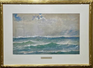
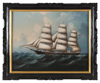
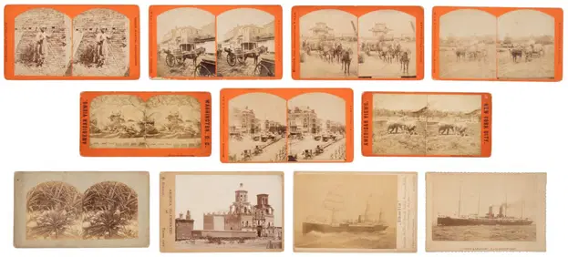
American Seascape Master E.D. Lewis, "Northeaster, Cape Ann, Mass"Feb 27, 2024Rare 19thc Colton Map of Sweden And NorwayFeb 24, 2024LEE HENG (China, 19th Century), China Trade portrait of the ship Agenor in Chinese waters, circaFeb 27, 2024Palestine Tourist Map - Circa 19th CenturyFeb 27, 20241849 Mitchell School ATLAS 24 MAPS America Holy Land France Africa Egypt AsiaMar 31, 20241872 Holy BIBLE & Hitchcock Analysis Gruden Concordance Theology MAPS Holy LandMar 31, 2024Hand drawn map showing MeccaFeb 29, 2024Hand drawn mapFeb 29, 2024A 19TH CENTURY HAND COLOURED MAP OF ORKNEY AND SHETLANDFeb 28, 2024ENGLISH HISTORICAL BLUE STAFFORDSHIRE PLATTER.Mar 08, 20241822 MAP of NORTH & SOUTH AMERICA GEOGRAPHICAL STATISTICAL HISTORICAL antiqueFeb 27, 2024West India Islands, and Central America.Feb 27, 20241825 Vandermaelen Map of the Curacao, Aruba -- Amer. Sep. Curacao No. 74.Feb 27, 202415 Maps of North America 1st half of 19th centuryMar 07, 2024Stereo view of New Orleans, etc.Mar 07, 2024COPY OF A MAP POWDER HORN 19th/20th Century Length 11".Mar 07, 2024COLONIES FRANÇAISES en AFRIQUE. Africa Sénégal Madagascar. LEVASSEUR c1850 mapFeb 28, 2024Johnson's Africa. Colonies & tribes. Liberia Nile Delta Cape Colony 1866 mapFeb 28, 2024West Africa. Sahara caravan routes. Tribes Kingdoms Empires. LIZARS 1842 mapFeb 28, 2024Afrique Ancienne. Ancient North Africa. MALTE-BRUN c1871 old antique map chartFeb 28, 2024Two Hand-Colored 19th Century Maps of New Orleans and Louisiana, Larger- H.- 12 1/2 in., W.- 15 1/2Mar 08, 2024Rare 19thc Colton Map, Argentine Republic, Chile, Uruguay, PataguayMar 16, 2024Dress in tulle and embroidered black laceFeb 27, 202419th C. Map of South Texas and Gulf CoastFeb 24, 2024