1849 Survey Map Creek Indian Territory
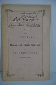
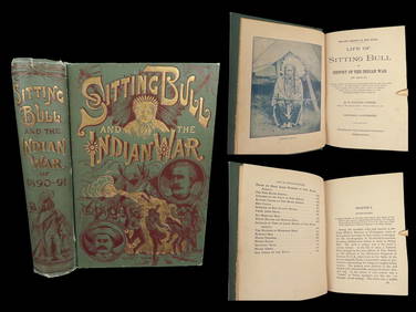
Boston and Maine RR Annual Report-September 12, 1849Feb 24, 2024Rand McNally Railroad Map of Washington-1906Feb 24, 20241891 Sitting Bull 1st ed Life Native American Sioux Indians DAKOTA Ghost DanceMar 10, 202418TH C. ANTIQUE MAP: FRENCH & INDIAN WAR, FRAMEDFeb 24, 2024DEVINE c1856 Dr Salters Map Of Lake Huron Ontario Indian Lands etc. No. 7 ScarceMar 02, 2024MATTHEWS c1856 Map Of Upper Canada Ontario Indian Land Agency Divisions Scarce!Mar 02, 20241818 RARE Geography Made Easy MAPS Jedidiah Morse Boston Indians Atlas AsiaMar 31, 20241849 Mitchell School ATLAS 24 MAPS America Holy Land France Africa Egypt AsiaMar 31, 20241849 THE NEW-ENGLAND MERCANTILE UNIONApr 20, 20247 7/8" Buzzard Roost Creek. Western Kentucky. Dickey COAMar 09, 2024Two Indian Motorcycle Narrow Metal Street SignsFeb 29, 2024INDIA WITHIN THE GANGES SUSAN GOLE ILLUSTRATED MAPS EARLY CARTOGRAPHYFeb 27, 2024Hist. of Indian wars of the Far West - Massacres of the MountainsFeb 27, 2024Missionary among the Cherokee during Civil WarMar 07, 2024Two Christian pamphlets in CherokeeMar 07, 20241853 U.S. Reports w/ 42 maps and illustrationsMar 07, 2024Wall map of North America 1856Mar 07, 2024Block books of east part of San Francisco 1905-6Mar 07, 2024Buck Creek from the Nelson Collection Indian Artifact ArrowheadMar 03, 20243 MapsMar 02, 20241849 Orr & Co. Hand Colored Southern Germany MapMar 02, 2024The Kingdom of Dalmatia Territories Map, 1700Mar 14, 2024MAP, Eastern US, StockdaleMar 12, 20246 pcs Vintage Paper Maps. Vancouver Island, British Columbia. Upper Elk Creek Sheet. See pics.May 25, 2024