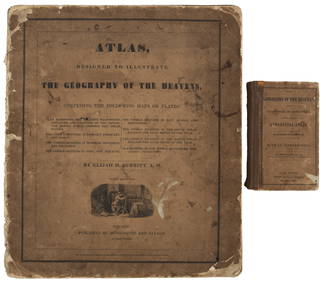
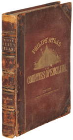
Two atlases: "Atlas of Ulster County NY" published by
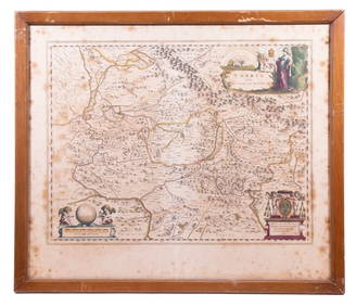
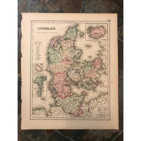
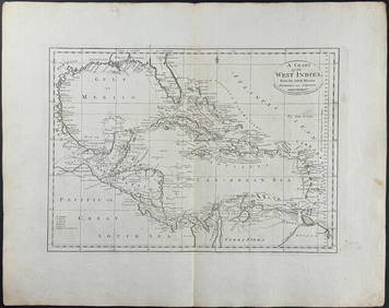
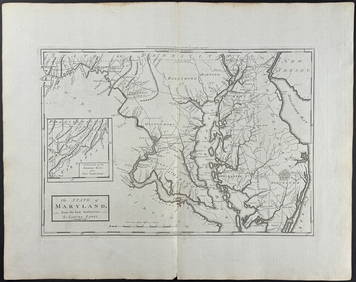
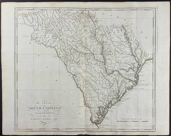
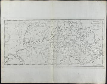
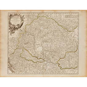
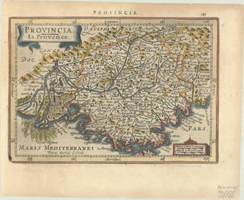
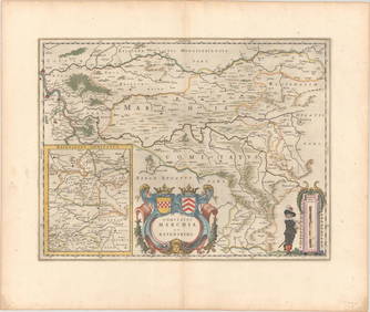
WILLEM JANSZOON BLAEU (NETHERLANDS, 1571-1638) MAP OF UMBRIAFeb 24, 2024Rare 19thc Colton Map of Sweden And NorwayFeb 24, 202419thc Colton Map of DenmarkFeb 24, 2024Rand McNally & Co's New Ideal State and County Survey and Atlas 1911Apr 20, 2024HAMMOND'S READY REFERENCE HISTORICAL ATLAS 1920Apr 20, 2024Carey, pub. 1796 - A Chart of the West IndiesFeb 24, 2024Carey, pub. 1796 - Map of the State of MarylandFeb 24, 2024Carey, pub. 1796 - Map of GeorgiaFeb 24, 2024Carey, pub. 1796 - Map of The State of South CarolinaFeb 24, 2024Carey, pub. 1796 - Map of KentuckyFeb 24, 2024Carey, pub. 1796 - Map of the Tennassee State formerly part of North Carolina (Tennessee)Feb 24, 2024THREE AMERICAN CARVED WOODEN DANCING MEN.Mar 09, 2024A 1785 Antonio Zatta map of the Holy landFeb 29, 2024Putnam 1921 Atlas of the World in excellent conditionFeb 27, 202419th c. astronomy textbook w/ star atlasMar 07, 2024Philips' Atlas of Counties of EnglandMar 07, 20241876 Antique Atlas of York County, PA (2)Mar 01, 2024Map of Hungary, incl Transylvania, 1751Mar 08, 2024JOHNSON’S 1861 FAMILY ATLAS.Mar 06, 2024Books on American Interest, 8Apr 16, 2024MAP, Scandinavia, PeetersMar 12, 2024MAP, France, MercatorMar 12, 2024MAP, Germany, BlaeuMar 12, 2024ENGRAVING, Portrait, HondiusMar 12, 2024 
