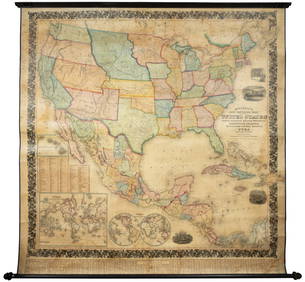
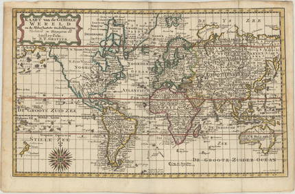
Mercator Map of the World United
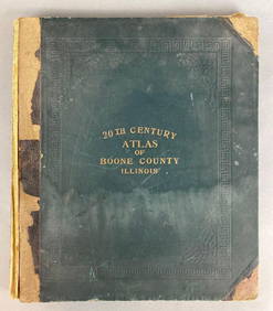
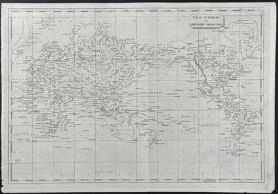
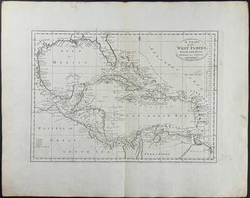
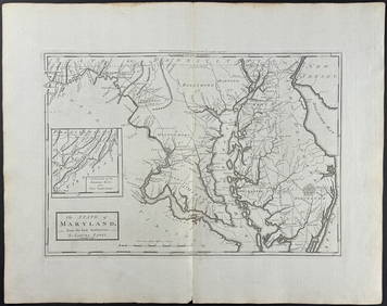
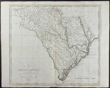
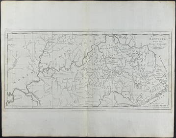
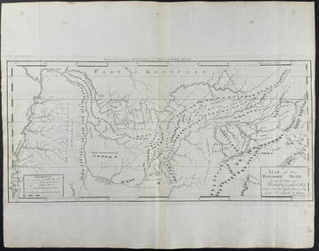
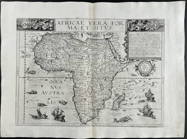
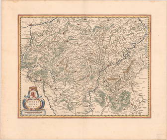
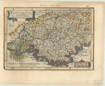
1905 20th Century Atlas of Boone County IllinoisFeb 24, 2024Arrowsmith & Lewis - Map of the World on Mercator's ProjectionFeb 24, 2024Carey, pub. 1796 - A Chart of the West IndiesFeb 24, 2024Carey, pub. 1796 - Map of the State of MarylandFeb 24, 2024Carey, pub. 1796 - Map of GeorgiaFeb 24, 2024Carey, pub. 1796 - Map of The State of South CarolinaFeb 24, 2024Carey, pub. 1796 - Map of KentuckyFeb 24, 2024Carey, pub. 1796 - Map of the Tennassee State formerly part of North Carolina (Tennessee)Feb 24, 2024De Jode, Rare, pub. 1593 - Map of Africa (Africae Vera Forma, et Situs)Feb 24, 2024CRAMS MAP OF THE WORLD AND UNITED STATESMar 04, 2024Vintage Holy Bible Old & New Testaments Illustrated 1904Mar 13, 2024Large wall map of U.S. & Central AmericaMar 07, 2024Mercator Chart of the World by Millar c.1780Mar 07, 2024Blackie (Pub) 1882 Folio Map. World on Mercators ProjectionMar 01, 2024MAP, World, GraviusMar 12, 2024MAP, Alaska & Canada, WytflietMar 12, 2024MAPS, England & Wales, MercatorMar 12, 2024MAP, England & Wales, MercatorMar 12, 2024MAP, Ireland, MercatorMar 12, 2024MAP, Luxembourg, MercatorMar 12, 2024MAP, France, MercatorMar 12, 2024MAP, Spain, MercatorMar 12, 2024MAP, Asia, MercatorMar 12, 2024MAP, Southern Asia, MercatorMar 12, 2024 
