Hundreds of maps from O.W. Gray atlases
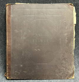
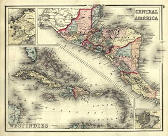
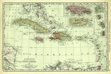
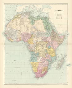
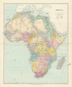
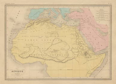
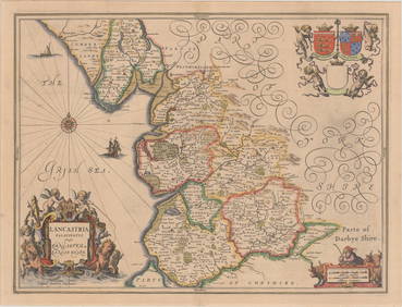
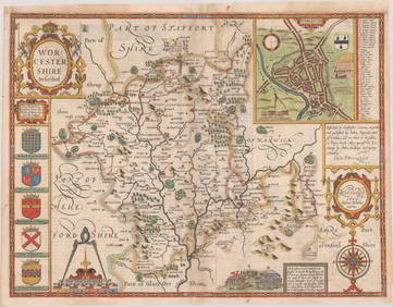
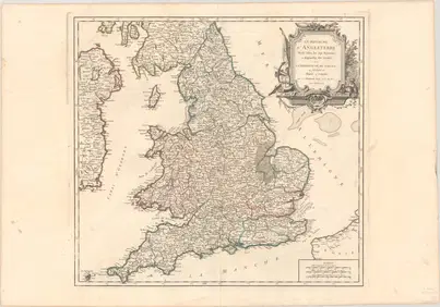
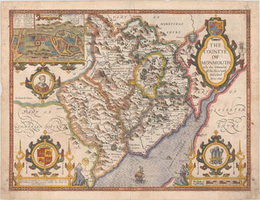
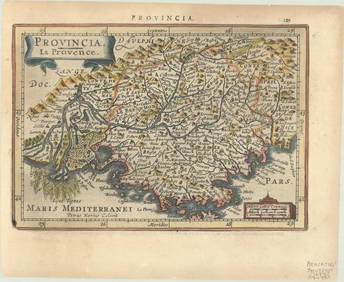
Shell Oil Company Road Map AtlasFeb 25, 20241898 Platte Atlas Map of Lenawee County MichiganFeb 24, 2024Gray's Atlas Map of North AmericaFeb 27, 2024West Indies. Rand, McNally & Co.'S Indexed Atlas Map of the West Indies.Feb 27, 2024Rand-McNally New Library Atlas Map of West IndiesFeb 27, 2024Northern & Southern Africa. Maghreb. Orange River Sovereignty. HALL 1854 mapFeb 28, 2024COLONIAL AFRICA Afrique. League of Nations Mandates. Ethnicity 1929 old mapFeb 28, 2024Africa. Congo Free Trade Area. British South Africa Company. STANFORD 1896 mapFeb 28, 2024North-west Africa. Morocco &c. Sahara desert. Unresolved borders. TIMES 1922 mapFeb 28, 2024Colonial & French West Africa. Gold Coast Dahomey Upper Volta. TIMES 1922 mapFeb 28, 2024FRENCH COLONIAL GUINEA. Guinee Française. Conakry city town ville plan 1931 mapFeb 28, 2024Africa. Congo Free Trade Area. British South Africa Company. STANFORD 1894 mapFeb 28, 2024Colonial West Africa. Nigeria Cameroon Congo. British German. TIMES 1900 mapFeb 28, 2024Early colonial Africa. Inset Madeira & Aden. SIDNEY HALL 1854 old antique mapFeb 28, 2024Colonial Africa North-East. Hejaz Kenya Abyssinia Colonial. THE TIMES 1900 mapFeb 28, 2024Afrique Ancienne. Ancient North Africa. MALTE-BRUN c1871 old antique map chartFeb 28, 2024Colonial Africa North-West. British French. Nigeria Sahara. THE TIMES 1900 mapFeb 28, 2024MAP, England, JanssonMar 12, 2024MAP, England, SpeedMar 12, 2024MAP, England, BowenMar 12, 2024MAP, England & Wales, Robert de VaugondyMar 12, 2024MAP, Wales, SpeedMar 12, 2024MAP, France, MercatorMar 12, 2024MAP, France, FerMar 12, 2024 

