

Popular Searches
Popular Searches

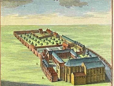
German 18th Century hand-colored map. Herzogthums
You May Also Like


Similar Sale History
Sold

Sold

Sold

Sold

Sold

Sold

Sold

Sold

Sold

Sold

Sold

Sold


Sold

Sold

Sold

Sold

Sold

Sold

Sold

Sold

Sold

Sold


Upcoming Sales
View All
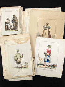


![[MAPS]. DUFOUR, Auguste-Henri (1795-1865). Bound Volume of ... (1 of 2)](https://p1.liveauctioneers.com/928/318880/171361279_1_x.jpg?height=282&quality=70&version=1707501302)


TOP