Four hand coloured maps, comprising: 'Dorcestria',
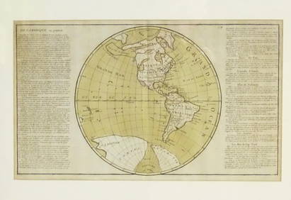
Numismatic Books - Lelewel - Numismatique du Moyen-AgeMar 09, 2024J. HARRIS AFTER HENRY ALKEN The First Steeplechase on Record A set of four, hand colouredFeb 27, 2024A 19TH CENTURY HAND COLOURED MAP OF ORKNEY AND SHETLANDFeb 28, 2024Map: An 18thC engraved and hand coloured map of Buckinghamshire after Robert Morden. Approx. 8 1/4"Feb 26, 2024Map: A 19thC engraved and hand coloured map of South America. Published by the Society for theFeb 26, 2024Map: An 18thC engraved and hand coloured map of Northamptonshire, with description ofFeb 26, 2024Map: A 19thC engraved and hand coloured map of St. Petersburg / Sanktpeterburga by W. B. Clarke.Feb 26, 2024Map: A 17thC engraved and hand coloured map of Scotland titled Strath-Navernia / Strath Navern afterFeb 26, 2024Map: An engraved and hand coloured map titled The Countie of Nottingham described The Shire TownesFeb 26, 2024Map: A 17thC engraved and hand coloured map of Bedfordshire after Robert Morden. Approx. 12 1/2" xFeb 26, 2024Map: An 18thC engraved and hand coloured map of North America and South America, titled DeFeb 26, 2024Map: A 19thC engraved and hand coloured map of Buckingham titled A New Map of BuckinghamshireFeb 26, 2024Map: A 17thC engraved and hand coloured map after Frederik de Wit (1630-1706) titled Nova Persiae,Feb 26, 2024Ireland.- Smedley (Edward) Erin. A Georgraphical and Descriptive Poem, 2 parts in 1, first edition,Feb 29, 2024Railways & Transport.- [Prospectus] The Dorking, Brighton, and Arundel Atmospheric Railway, byFeb 29, 2024Morocco, Algeria, Tunisia & Libya. North Africa. HUGHES 1876 old antique mapFeb 28, 2024Afrique. Partie du Sahara #16. Niger & Chad Libya. VANDERMAELEN 1827 old mapFeb 28, 2024Afrique. Partie du Désert de Sahara #13. Mauritania Mali. VANDERMAELEN 1827 mapFeb 28, 2024Afrique Pays… sud du Lac Tchad 30 Central African Republic VANDERMAELEN 1827 mapFeb 28, 2024Afrique. Partie du Sahara #12. Mauritania. Western Sahara. VANDERMAELEN 1827 mapFeb 28, 2024Afrique. Benguela #44. Southern Angola & Northern Namibia. VANDERMAELEN 1827 mapFeb 28, 2024Afrique. Bambara #20 Niger River. Western Mali. Mauritania VANDERMAELEN 1827 mapFeb 28, 2024Afrique. Pays des Hottentots #50. Namibia South Africa VANDERMAELEN 1827 mapFeb 28, 2024Afrique. Pays des Hottentots #51. Botswana South Africa. VANDERMAELEN 1827 mapFeb 28, 2024 


![Railways & Transport.- [Prospectus] The Dorking, Brighton, and Arundel Atmospheric Railway, by (1 of 1)](https://p1.liveauctioneers.com/5458/319736/171654703_1_x.jpg?height=282&quality=70&version=1708010439)


