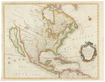
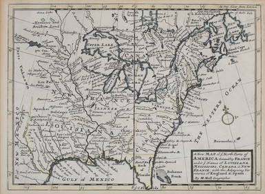
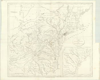
Early Map of British North America: 1704
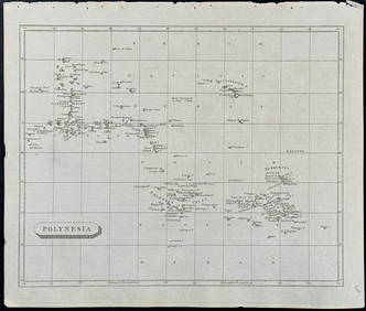
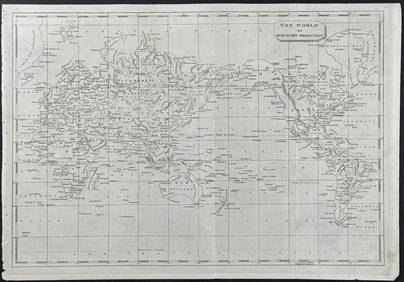
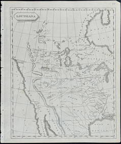
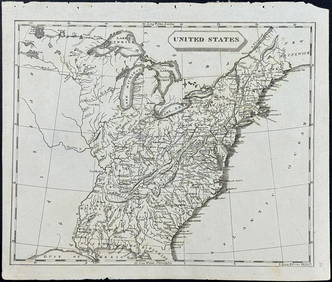
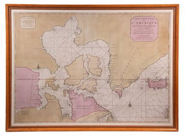
LARGE EARLY 18TH C. DUTCH CHART OF UPPER NORTH AMERICA, PIERRE MORTIER (1661-1711), FRAMEDFeb 24, 2024[SHIPWRECKS]. Manuscript testimony (court duplicate) of Thomas Kent, a Black man aboard theFeb 27, 2024Arrowsmith & Lewis - Map of PolynesiaFeb 24, 2024Arrowsmith & Lewis - Map of North AmericaFeb 24, 2024Arrowsmith & Lewis - Map of the World on Mercator's ProjectionFeb 24, 2024Arrowsmith & Lewis - Map of LouisianaFeb 24, 2024Arrowsmith & Lewis - Map of the United StatesFeb 24, 2024Carey, pub. 1796 - Map of the Tennassee State formerly part of North Carolina (Tennessee)Feb 24, 2024Map: An 18thC engraved and hand coloured map of North America and South America, titled DeFeb 26, 2024New and Correct Map of North America With the West India Islands,Feb 27, 2024Gray's Atlas Map of North AmericaFeb 27, 2024Mercator's map of China 1606Mar 07, 202415 Maps of North America 1st half of 19th centuryMar 07, 2024Janvier map of North AmericaMar 07, 2024Sanson/Jaillot map of North America 1719Mar 07, 2024Seale map of North America California an islandMar 07, 2024Large wall map of U.S. & Central AmericaMar 07, 2024Wall map of North America 1856Mar 07, 2024H.J. Warre litho of Prairie Fire 1848Mar 07, 2024Cooke, George 1801 Antique Map. North AmericaMar 01, 2024Herman Moll A New Map of Ye North Parts of AmericaMar 14, 2024MAP, Alaska & Canada, WytflietMar 12, 2024MAP, Eastern US, StockdaleMar 12, 2024MAP, Jamaica, ZattaMar 12, 2024 
![[SHIPWRECKS]. Manuscript testimony (court duplicate) of Thomas Kent, a Black man aboard the (1 of 5)](https://p1.liveauctioneers.com/197/319238/171468014_1_x.jpg?height=282&quality=70&version=1707520367)
