Early California Tourist Road Maps (2) [137631]
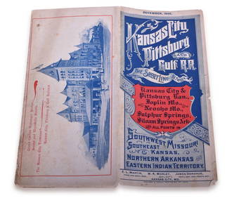
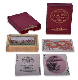
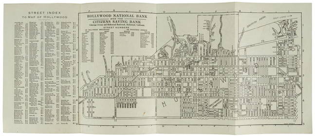
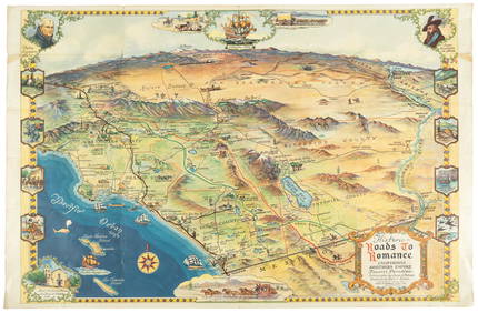
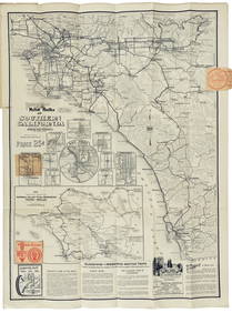
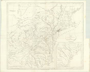
FLYING A TOURING SERVICE U.S. ROAD MAPS TIN WALL DISPLAY.Feb 25, 2024Shell Oil Company Road Map AtlasFeb 25, 2024Pair of Metro Mobil Oil Road MapsFeb 25, 2024Group of Four Signal Oil Road MapsFeb 25, 2024Group of Five Signal Oil Road MapsFeb 25, 2024Group of Three Deep Rock Road MapsFeb 25, 2024Group of Four Gulf Refining Road MapsFeb 25, 2024Group of Seven Shell Oil Road MapsFeb 25, 2024Group of 12 Sinclair Road MapsFeb 25, 2024Group of Ten Sinclair Road MapsFeb 25, 2024Group of 15 Sinclair Road MapsFeb 25, 2024Group of Standard Oil Family Road MapsFeb 25, 20241895 Kansas City, Pittsburg & Gulf Railroad Public TimetableMar 08, 2024Fred Harvey Railroad Early Souvenir Playing Cards of the Great Southwest - Indians and Train SmokeMar 08, 2024Early 1990s Chicago Transit Authority Fiberglass Line MapMar 08, 20241856 ARCTIC EXPLORATIONS 2nd GRINNEL EXPEDITION 2 v. E.KANE antique ILLUSTRATEDFeb 27, 2024Fireman's Fund auto tour book of CaliforniaMar 07, 2024Road Laws of California 1893Mar 07, 2024Map & Street Directory of Hollywood, 1919Mar 07, 2024Bird's-eye pictorial map of Southern CaliforniaMar 07, 2024Road map of Southern California c.1925Mar 07, 2024Road map of West Coast states 1925Mar 07, 2024MAP, Eastern US, StockdaleMar 12, 2024MAP, California, OwensMar 12, 2024 


![[BASEBALL]. [SHEET MUSIC]. KALBFLEISCH, J. H. The Live Oak ... (1 of 5)](https://p1.liveauctioneers.com/928/318880/171361400_1_x.jpg?height=282&quality=70&version=1707501302)







![[BASEBALL]. [SHEET MUSIC]. KALBFLEISCH, J. H. The Live Oak ... (1 of 5)](https://p1.liveauctioneers.com/928/318880/171361400_1_x.jpg?height=282&quality=70&version=1707501302)


