SoldDeutschland new and correct map: A new and correctDeutschland new and correct map - A New and Correct Map of the South West part of Germany ... Kupferstich mit zeitgenöss. kolorierter Waffen-Kartusche, kleiner Windrose und Meilenmesser sowie mit zeiSee Sold Price
1784 Bowen Map of Greater London -- A New & Correct MapTitle/ Content of Map: 1784 Bowen Map of Greater London -- A New & Correct Map of the Counties upwards of Twenty Miles Round London, Drawn from Modern Surveys and Engrav'd for Thornton's History of LoSee Sold Price
SoldOverton, Henry, @New & Correct Map of the TradiOverton, Henry, "A New & Correct Map of the Trading Part of the West Indies, including the Seat of War between Gr. Britain and France... British Empire in America" , dated 1759 in title cartouche, "prSee Sold Price
SoldAntique Map: "New & Correct Map of All America"Rare antique map of The Americas, titled " A New & Correct Map of all AMERICA, With the West Indian Islands, According to the Definitive Treaty Concluded at Paris 10th Feb., 1763" with inset drawingsSee Sold Price
SoldMap - "A New & Correct Map of North Wales"Map - "A New & Correct Map of North Wales"1722, from Camden's Britannia, hand-colored, matted and framed under glass.SS 14 x 17 in.; DOA 21 x 24 in.See Sold Price
Sold1775 MAP: New + Correct Plan the Town of BostonAmerican Revolution 1775 - “A New and Correct Plan of the Town of Boston” October 1775-Dated Revolutionary War Historical Map Issue, THE GENTLEMAN’S MAGAZINE, with fold-out Map titled, “A NewSee Sold Price
1784 Bowen Map of Greater London -- A New & Correct MapTitle: 1784 Bowen Map of Greater London -- A New & Correct Map of the Counties upwards of Twenty Miles Round London, Drawn from Modern Surveys and Engrav'd for Thornton's History of London &c. Date: 1See Sold Price
1784 Bowen Map of Greater London -- A New & Correct MapTitle/Content of Map: 1784 Bowen Map of Greater London -- A New & Correct Map of the Counties upwards of Twenty Miles Round London, Drawn from Modern Surveys and Engrav'd for Thornton's History of LonSee Sold Price
E. Bowen. New & correct map of Southwest of GermanyBowen, Emanuel A new and correct map of South West part of Germany C. 1745 Copperplate engraving; uncoloured Printed area: 34.5 x 42 cm; 13.5 x 16.5 in This map, drawn with the utmost sense of precisiSee Sold Price
1784 Bowen Map of Greater London -- A New & Correct MapTitle/Content of Map: 1784 Bowen Map of Greater London -- A New & Correct Map of the Counties upwards of Twenty Miles Round London, Drawn from Modern Surveys and Engrav'd for Thornton's History of LonSee Sold Price
1784 Bowen Map of Greater London -- A New & Correct MapTitle: 1784 Bowen Map of Greater London -- A New & Correct Map of the Counties upwards of Twenty Miles Round London, Drawn from Modern Surveys and Engrav'd for Thornton's History of London &c. Date: 1See Sold Price
New & Correct Map of Thirty Miles Around London,Title: New & Correct Map of Thirty Miles Around London, Cartographer: OVERTON, HENRY Publisher: Printed & Sold by HEN: OVERTON at the White Hors without Newgate Height: 25.75 Width: 37.25 "Shewing allSee Sold Price
1784 Bowen Map of Greater London -- A New & Correct MapTitle: 1784 Bowen Map of Greater London -- A New & Correct Map of the Counties upwards of Twenty Miles Round London, Drawn from Modern Surveys and Engrav'd for Thornton's History of London &c. Date: 1See Sold Price
"A new & correct map of the North part of Scotland" byTITLE/CONTENT OF MAP: 13871: 201: 'A new & correct map of the North part of Scotland from the best authorities' DATE PRINTED: 1805 IMAGE SIZE: Approx 44.0 x 55.0cm, 17.25 x 21.75 inches (Large); PleasSee Sold Price
SoldCARY (JOHN), A NEW & CORRECT MAP OF THE NORTH PART OFCARY (JOHN), A NEW & CORRECT MAP OF THE NORTH PART OF SCOTLAND FROM THE BEST AUTHORITIES, engraved map with hand colouring, framed. 41.5cm by 53cmSee Sold Price
1784 Bowen Map of Greater London -- A New & Correct MapTitle: 1784 Bowen Map of Greater London -- A New & Correct Map of the Counties upwards of Twenty Miles Round London, Drawn from Modern Surveys and Engrav'd for Thornton's History of London &c. CartogrSee Sold Price
Sold1775 MAP: New + Correct Plan the Town of BostonAmerican Revolution 1775 - “A New and Correct Plan of the Town of Boston” October 1775-Dated Revolutionary War Historical Map Issue, THE GENTLEMAN’S MAGAZINE, with fold-out Map titled, “A NewSee Sold Price
Sold1775 MAP: New + Correct Plan the Town of BostonAmerican Revolution 1775 - "A New and Correct Plan of the Town of Boston" October 1775-Dated Revolutionary War Historical Map Issue, THE GENTLEMAN'S MAGAZINE, with fold-out Map titled, "A New and CorrSee Sold Price
SoldCARY (JOHN), A NEW & CORRECT MAP OF THE NORTH PART OFCARY (JOHN), A NEW & CORRECT MAP OF THE NORTH PART OF SCOTLAND FROM THE BEST AUTHORITIES, engraved map with hand colouring, framed. 41.5cm by 53cmSee Sold Price
1784 Bowen Map of Greater London -- A New & Correct MapTitle/Content of Map: 1784 Bowen Map of Greater London -- A New & Correct Map of the Counties upwards of Twenty Miles Round London, Drawn from Modern Surveys and Engrav'd for Thornton's History of LonSee Sold Price
New & Correct Map of Thirty Miles Around London,Title/Content of Map: New & Correct Map of Thirty Miles Around London, Cartographer: OVERTON, HENRY Date: 170c7-1720 Publisher: Printed & Sold by HEN: OVERTON at the White Hors without Newgate Size: 2See Sold Price
"A new & correct map of the South part of Scotland" byTITLE/CONTENT OF MAP: 'A new & correct map of the South part of Scotland from the best authorities' DATE PRINTED: 1789 IMAGE SIZE: Approx 41.0 x 54.0cm, 16.25 x 21.25 inches (Large); Please note thatSee Sold Price
New & Correct Map of Thirty Miles Around London,Publication Date: c1707-1720 Title: New & Correct Map of Thirty Miles Around London, Cartographer: OVERTON, HENRY Publisher: Printed & Sold by HEN: OVERTON at the White Hors without Newgate Height: 25See Sold Price
New & Correct Map of Thirty Miles Around London,Publication Date: c1707-1720 Title: New & Correct Map of Thirty Miles Around London, Cartographer: OVERTON, HENRY Publisher: Printed & Sold by HEN: OVERTON at the White Hors without Newgate Height: 25See Sold Price
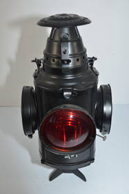
Chicago and Eastern Illinois RR Handlan Switch LampJM Hobby Supply and Railroad Artifact Auctions4.4(127)See Sold PriceFeb 24, 2024
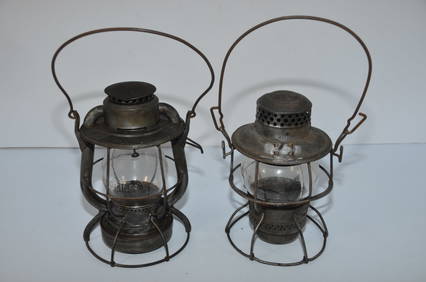
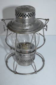
Two Switchmans Lanterns-CCCSTL RR and New York Central RR-Dietz/AdlakeJM Hobby Supply and Railroad Artifact Auctions4.4(127)See Sold PriceFeb 24, 2024
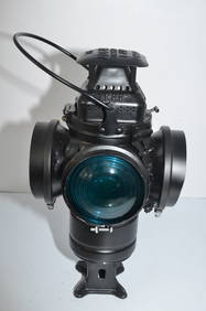
Elgin Joliet and Eastern RR Dressel Switch LampJM Hobby Supply and Railroad Artifact Auctions4.4(127)See Sold PriceFeb 24, 2024
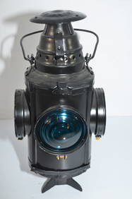
Illinois Central RR Adlake Non-Sweating Switch LampJM Hobby Supply and Railroad Artifact Auctions4.4(127)See Sold PriceFeb 24, 2024
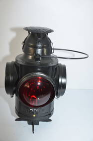
Lehigh Valley RR Dressel Switch LampJM Hobby Supply and Railroad Artifact Auctions4.4(127)See Sold PriceFeb 24, 2024
Two New York Central RR Dietz Vesta Cast Globe Switchmans LanternsJM Hobby Supply and Railroad Artifact Auctions4.4(127)See Sold PriceFeb 24, 2024
Two Different New York Central RR Dietz Vesta Switchmans LanternsJM Hobby Supply and Railroad Artifact Auctions4.4(127)See Sold PriceFeb 24, 2024
Two Different New York Central RR Dietz Vesta LanternsJM Hobby Supply and Railroad Artifact Auctions4.4(127)See Sold PriceFeb 24, 2024
Two Different New York Central RR Switchmans LanternsJM Hobby Supply and Railroad Artifact Auctions4.4(127)See Sold PriceFeb 24, 2024
Nickel Plate Road RR Handlan Switch LampJM Hobby Supply and Railroad Artifact Auctions4.4(127)See Sold PriceFeb 24, 2024
Philadelphia and Reading RY Dressel Switch LampJM Hobby Supply and Railroad Artifact Auctions4.4(127)See Sold PriceFeb 24, 2024
Philadelphia and Reading RY Dressel Switch LampJM Hobby Supply and Railroad Artifact Auctions4.4(127)See Sold PriceFeb 24, 2024
St Louis and San Francisco RR Dressel Switch LampJM Hobby Supply and Railroad Artifact Auctions4.4(127)See Sold PriceFeb 24, 2024
Portfolio of 15 County Maps by Robert Morden (English 1650-1703)Nadeau's Auction Gallery4.7(409)See Sold PriceFeb 24, 2024
1849 THE NEW-ENGLAND MERCANTILE UNIONNorth American Artifact Auctions4.7(198)See Sold PriceApr 20, 2024
New York Central RR Adlake Reliable Switchmans Lantern with Cast GlobeJM Hobby Supply and Railroad Artifact Auctions4.4(127)See Sold PriceFeb 24, 2024
Map: A 19thC engraved and hand coloured map of Buckingham titled A New Map of BuckinghamshireClaydon Auctioneers Ltd4.3(125)See Sold PriceFeb 26, 2024
New and Correct Map of North America With the West India Islands,Jasper524.5(9.9k)See Sold PriceFeb 27, 2024
Herman Moll A New Map of Ye North Parts of AmericaWillow Auction House4.5(289)See Sold PriceMar 14, 2024