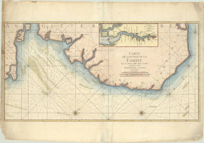
De l'Isle (Guillaume) Carte des Côtes de Malabar
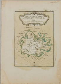
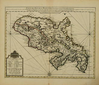
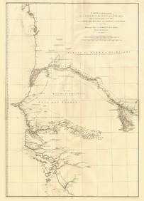
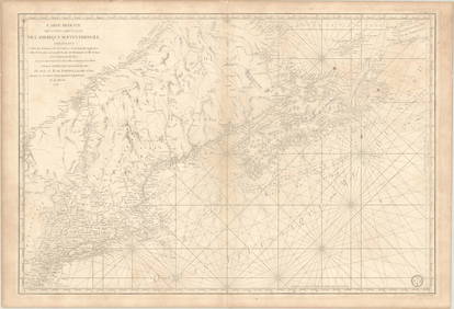
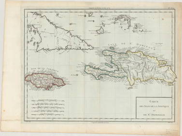
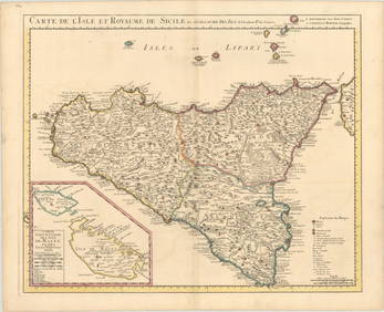
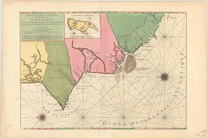
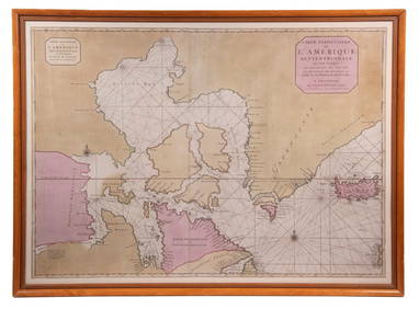
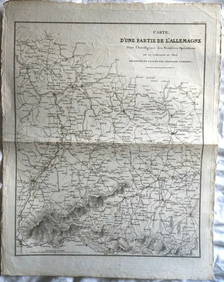
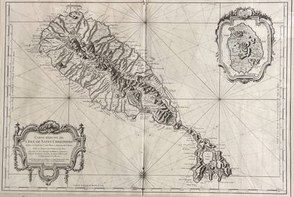
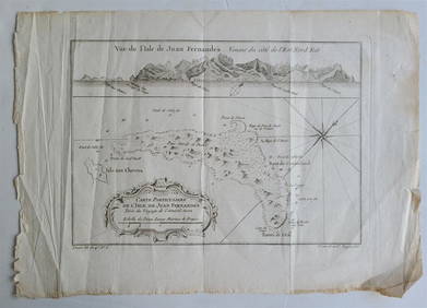
LARGE EARLY 18TH C. DUTCH CHART OF UPPER NORTH AMERICA, PIERRE MORTIER (1661-1711), FRAMEDFeb 24, 2024AMBROISE TARDIEU c1822 Napoleonic War Map GermanyMar 02, 2024[MAPS]. DUFOUR, Auguste-Henri (1795-1865). Bound Volume of ...Mar 07, 2024Map of St. Kitts and Nevis Depot de la Marine, Paris, 1758Mar 03, 20241760 MAP CARTE PARTICULIERE DE L'ISLE DE JUAN FERNANDES antique Robinson CrusoeFeb 27, 2024Railways & Transport.- [Prospectus] The Dorking, Brighton, and Arundel Atmospheric Railway, byFeb 29, 20241764 Bellin Map of Mari-Galante Near Guadeloupe -- Carte de l'Isle de Mari-GalanteFeb 27, 20241764 Bellin Map of St. Kitts -- Carte de l'Isle St. ChristopheFeb 27, 20241764 Bellin Map of Antigua -- Carte de l'Isle d'Antigue Situee par la Latitude 17 Degres et par laFeb 27, 20241845 Delisle/Bauche Map of Martinique -- Carte de l'Isle de la Martinique Colonie Francoise de l'uneFeb 27, 2024De l'Isle's influential map of Americas 1722Mar 07, 2024Carte du Canal de Mosambique…. Madagascar Bonne Esperance. BONNE 1780 mapFeb 28, 2024Côte occidentale de l'Afrique. W Africa.Senegal Gambia rivers.D’ANVILLE 1751 mapFeb 28, 2024Partie Occidentale de l’Afrique. West Africa coast Canary islands BONNE 1788 mapFeb 28, 2024Antique Map of Poland, 1700 by Guillaume De Lisle, ParisMar 14, 2024MAP, US & Canada, SartineMar 12, 2024MAP, Hispaniola, TardieuMar 12, 2024MAP, Barbados, BellinMar 12, 2024MAP, Guyana, BellinMar 12, 2024MAP, England, JaillotMar 12, 2024MAP, Sicily, DelisleMar 12, 2024MAP, Middle East, SansonMar 12, 2024MAP, Africa, MortierMar 12, 2024MAP, Mozambique, MortierMar 12, 2024 
![[MAPS]. DUFOUR, Auguste-Henri (1795-1865). Bound Volume of ... (1 of 2)](https://p1.liveauctioneers.com/928/318880/171361279_1_x.jpg?height=282&quality=70&version=1707501302)
![Railways & Transport.- [Prospectus] The Dorking, Brighton, and Arundel Atmospheric Railway, by (1 of 1)](https://p1.liveauctioneers.com/5458/319736/171654703_1_x.jpg?height=282&quality=70&version=1708010439)


