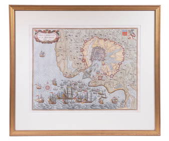
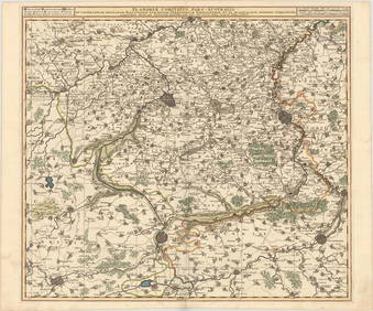
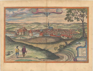
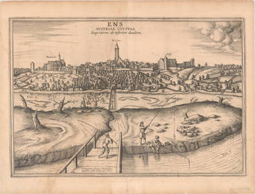
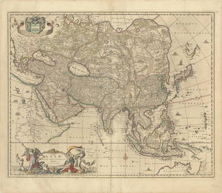
ANTIQUE MAP OF HOLLAND - VISSCHER,1617/ 1622
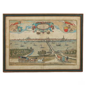
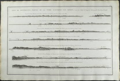
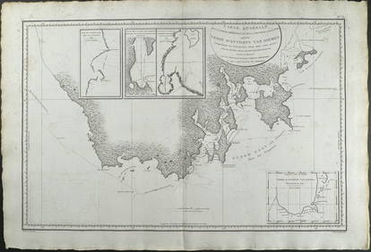
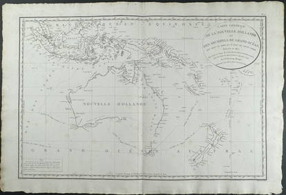
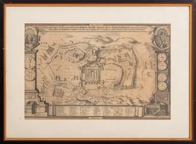
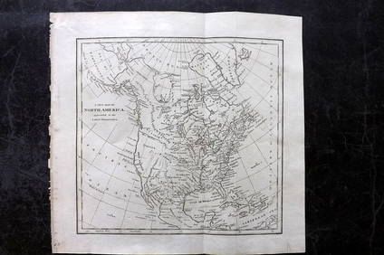
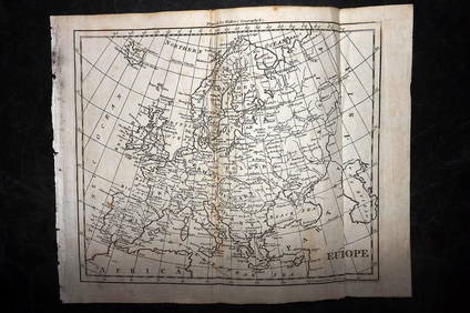
17TH C. ANTIQUE MAP SIEGE OF LA ROCHELLE, FRANCE, FRAMEDFeb 24, 202418TH C. ANTIQUE MAP: FRENCH & INDIAN WAR, FRAMEDFeb 24, 20241937 Holland, Michigan, Tulip Time Map Guide, FramedMar 02, 2024A Map of ZeelandFeb 27, 2024Antique German Kampen Town Color Copper EtchingFeb 28, 2024D'Entrecasteaux - Australia: Coasts of Van Diemen's Land (New Holland). 9Feb 24, 2024D'Entrecasteaux - Australia: Chart of Van Diemen's Land (New Holland). 3Feb 24, 2024D'Entrecasteaux - Map of Australia (New Holland), New Zealand, and southern Asia and surroundingFeb 24, 2024Georg Bockler Map of Ancient Jerulsaem EtchingApr 07, 2024Cooke, George 1801 Antique Map. North AmericaMar 01, 2024Cooke, George 1801 Antique Map. United States of AmericaMar 01, 2024Walker, John C1805 Antique Map. EuropeMar 01, 2024Francis McNally - Antique Map of Ohio, Indiana & KentuckyFeb 28, 2024Helen Ledgwrlz - Illustrated map of the Cape Peninsula, South AfricaFeb 28, 2024Antique Map of Poland, 1700 by Guillaume De Lisle, ParisMar 14, 2024MAP, South Pole, KeizerMar 12, 2024MAP, Low Countries, VisscherMar 12, 2024MAP, France, JodeMar 12, 2024MAP, Czech Republic, Braun & HogenbergMar 12, 2024MAP, Austria, VisscherMar 12, 2024MAP, Austria, Braun & HogenbergMar 12, 2024MAP, Asia, VisscherMar 12, 2024MAP, Australia, CookMar 12, 2024ENGRAVING, Title Pages, VisscherMar 12, 2024 

