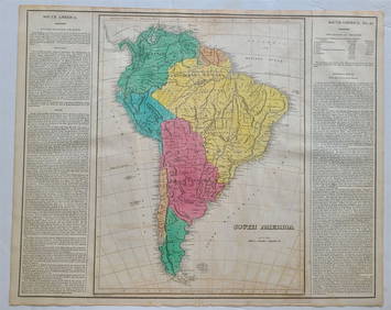
1821 map of South America
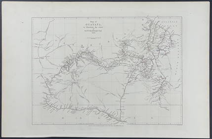
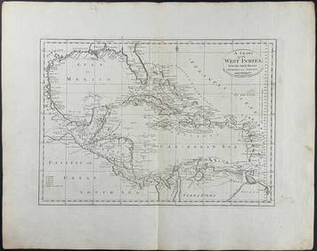
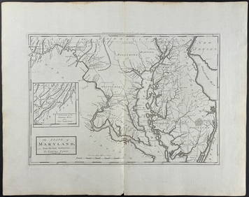
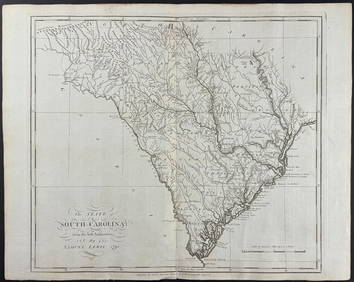
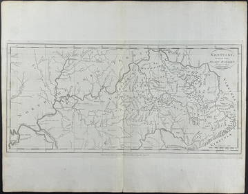
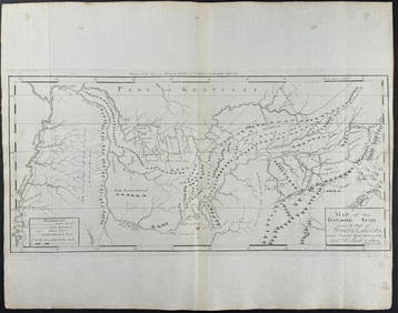
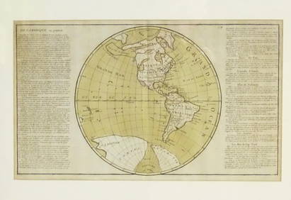
Schomburgk - Map of GuayanaFeb 24, 2024Carey, pub. 1796 - A Chart of the West IndiesFeb 24, 2024Carey, pub. 1796 - Map of the State of MarylandFeb 24, 2024Carey, pub. 1796 - Map of GeorgiaFeb 24, 2024Carey, pub. 1796 - Map of The State of South CarolinaFeb 24, 2024Carey, pub. 1796 - Map of KentuckyFeb 24, 2024Carey, pub. 1796 - Map of the Tennassee State formerly part of North Carolina (Tennessee)Feb 24, 2024Map: A 19thC engraved and hand coloured map of South America. Published by the Society for theFeb 26, 2024Map: An 18thC engraved and hand coloured map of North America and South America, titled DeFeb 26, 20241822 MAP of SOUTH AMERICA GEOGRAPHICAL STATISTICAL HISTORICAL antique 17.5x 22"Feb 27, 20241822 MAP of NORTH & SOUTH AMERICA GEOGRAPHICAL STATISTICAL HISTORICAL antiqueFeb 27, 20241683 Sanson Map of the Caribbean -- Les Isles Antilles, &c Entre Lesquelles sont les Lucayes, et lesFeb 27, 20241837. Map of Caribbean with Florida by A. PerrotFeb 27, 2024Map of Mexico, Central America, and the West IndiesFeb 27, 2024De l'Isle's influential map of Americas 1722Mar 07, 2024The Americas in 1596Mar 07, 2024Morden's America with California an islandMar 07, 2024Americas with Californa an island 1705Mar 07, 2024Cooke, George 1801 Antique Map. South AmericaMar 01, 2024Johnson & Exley 1812 Antique Map. South AmericaMar 01, 2024MAP, Cartagena, TirionMar 12, 2024MAP, South America, AaMar 12, 2024MAP, Tierra del Fuego, BlaeuMar 12, 2024MAP, Portugal, SeutterMar 12, 2024 